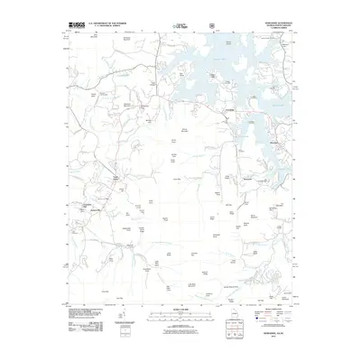
2011 Map of Hiawassee
USGS Topo · Published 2011About this map
Chatuge Lake dominates the northern and eastern portions of this Towns County landscape, its winding shoreline creating numerous inlets like Patterson Cove and Kirby Cove. The settlement pattern centers on Hiawassee and Young Harris, connected by roads that navigate the gaps between several prominent peaks. This 2011 survey documents a mix of agricultural valley history and modern lakeside development. Genealogists can find numerous burial grounds including Ledford Chapel Cemetery, Old Union Cemetery, and the Sims Cemetery. Evidence of earlier industry is preserved in labels like Townsend Mill and Mining Gap, while the terrain is defined by rugged features such as Davy Mountain, Shewbird Mountain, and the Double Knob Ridge. Waterways such as Brasstown Creek and Fodder Creek drain the surrounding mountains, feeding into the lake reservoir.
Find a feature on this map
131 named features on this map. Tap any name to fly to it.
Don’t see what you’re looking for? This feature index may not catch every label — zoom into the map to look around manually.
Map Details
Editions of this 2011 Hiawassee Map
This is the sole edition of this map. No revisions or reprints were ever made.
Other maps of this area

1886 · Dahlonega
USGS Topo · 1:125,000

1892 · Dahlonega
USGS Topo · 1:125,000

1896 · Dahlonega
USGS Topo · 1:125,000

1903 · Dahlonega
USGS Topo · 1:125,000

1935 · Coosa Bald
USGS Topo · 1:24,000

1935 · Peachtree
USGS Topo · 1:24,000

1935 · Osborn
USGS Topo · 1:24,000

1935 · Shooting Creek
USGS Topo · 1:24,000

1935 · Wayah Bald
USGS Topo · 1:48,000

1935 · Tray Mountain
USGS Topo · 1:24,000