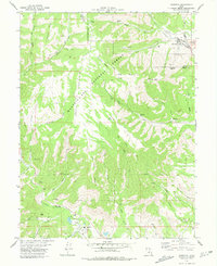
1978 Map of Hiawatha
USGS Topo · Published 1979About this map
Industrial coal operations and high-altitude terrain define this landscape at the intersection of Carbon and Emery Counties. The company towns of Hiawatha and Mohrland anchor the eastern slopes, connected by the Utah Railway which serviced the region's productive coal seams. Significant mining infrastructure is documented throughout the canyon systems, including the Hiawatha Mine, King Mine, and Blackhawk Mine.
Find a feature on this map
54 named features on this map. Tap any name to fly to it.
Don’t see what you’re looking for? This feature index may not catch every label — zoom into the map to look around manually.
Map Details
Editions of this 1978 Hiawatha Map
This is the sole edition of this map. No revisions or reprints were ever made.
Other maps of this area

1885 · Manti
USGS Topo · 1:250,000

1886 · Price River
USGS Topo · 1:250,000

1895 · Manti
USGS Topo · 1:250,000

1896 · Price River
USGS Topo · 1:250,000

1914 · Castle Gate
USGS Topo · 1:62,500

1916 · Castle Gate
USGS Topo · 1:62,500

1923 · Scofield
USGS Topo · 1:62,500

1923 · Hiawatha
USGS Topo · 1:62,500

1925 · Scofield
USGS Topo · 1:62,500

1925 · Hiawatha
USGS Topo · 1:62,500