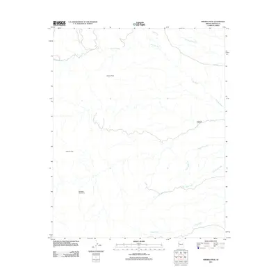
2011 Map of Hibernia Peak
USGS Topo · Published 2011About this map
Hibernia Peak and Orejano Peak anchor this high-desert landscape in the Hualapai Mountains as it appeared in the early 2010s. The terrain is defined by a dense network of seasonal drainage channels, including the prominent Blue Tank Wash and the descriptive Wagon Wheel Wash. These washes carve deep paths through the high country, with Hibernia Canyon serving as a major topographical feature.
Find a feature on this map
11 named features on this map. Tap any name to fly to it.
Don’t see what you’re looking for? This feature index may not catch every label — zoom into the map to look around manually.
Map Details
Editions of this 2011 Hibernia Peak Map
This is the sole edition of this map. No revisions or reprints were ever made.
Other maps of this area

1886 · Diamond Creek
USGS Topo · 1:250,000

1892 · Diamond Creek
USGS Topo · 1:250,000

1923 · Signal
USGS Topo · 1:250,000

1942 · Signal
USGS Topo · 1:250,000

1948 · Williams
USGS Topo · 1:250,000

1950 · Prescott
USGS Topo · 1:250,000

1954 · Prescott
USGS Topo · 1:250,000

1954 · Williams
USGS Topo · 1:250,000

1956 · Williams
USGS Topo · 1:250,000

1958 · Prescott
USGS Topo · 1:250,000