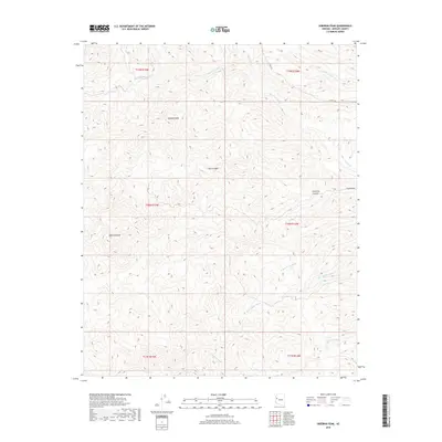
2018 Map of Hibernia Peak
USGS Topo · Published 2018About this map
Hibernia Peak and Orejano Peak define this high-desert reach of Mohave County, where the landscape is marked by a complex network of seasonal drainage channels. The map reveals a remote territory organized around these topographic summits and deep incisions like Bull Canyon and Hibernia Canyon. Human imprint is sparse, primarily confined to the route of Co HWY 129 in the northeast and a few unimproved paths that follow the natural contours of the land.
Find a feature on this map
18 named features on this map. Tap any name to fly to it.
Don’t see what you’re looking for? This feature index may not catch every label — zoom into the map to look around manually.
Map Details
Editions of this 2018 Hibernia Peak Map
This is the sole edition of this map. No revisions or reprints were ever made.
Other maps of this area

1886 · Diamond Creek
USGS Topo · 1:250,000

1892 · Diamond Creek
USGS Topo · 1:250,000

1923 · Signal
USGS Topo · 1:250,000

1942 · Signal
USGS Topo · 1:250,000

1948 · Williams
USGS Topo · 1:250,000

1950 · Prescott
USGS Topo · 1:250,000

1954 · Prescott
USGS Topo · 1:250,000

1954 · Williams
USGS Topo · 1:250,000

1956 · Williams
USGS Topo · 1:250,000

1958 · Prescott
USGS Topo · 1:250,000