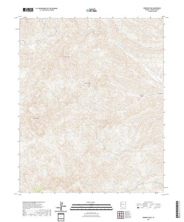
2021 Map of Hibernia Peak
USGS Topo · Published 2021About this map
Hibernia Peak and Orejano Peak define this high-desert territory in Mohave County, where a complex network of seasonal drainages has carved the landscape. This 2021 U.S. Geological Survey representation details a rugged area primarily characterized by its hydrography, with numerous named washes including Blue Tank Wash, Wagon Wheel Wash, and the curiously named Hair Clipper Wash cutting through the terrain. The topography is further marked by Bull Canyon and Hibernia Canyon, illustrating the erosional forces at work in this part of Arizona. While largely undeveloped, the presence of CO Hwy 129 in the northeast corner provides a modern point of reference for the survey. The map serves as a meticulous record of land divisions, showing Township and Range boundaries such as t18n r15w and t19n r14w that continue to organize the remote desert acreage.
Find a feature on this map
18 named features on this map. Tap any name to fly to it.
Don’t see what you’re looking for? This feature index may not catch every label — zoom into the map to look around manually.
Map Details
Editions of this 2021 Hibernia Peak Map
This is the sole edition of this map. No revisions or reprints were ever made.
Other maps of this area

1886 · Diamond Creek
USGS Topo · 1:250,000

1892 · Diamond Creek
USGS Topo · 1:250,000

1923 · Signal
USGS Topo · 1:250,000

1942 · Signal
USGS Topo · 1:250,000

1948 · Williams
USGS Topo · 1:250,000

1950 · Prescott
USGS Topo · 1:250,000

1954 · Prescott
USGS Topo · 1:250,000

1954 · Williams
USGS Topo · 1:250,000

1956 · Williams
USGS Topo · 1:250,000

1958 · Prescott
USGS Topo · 1:250,000