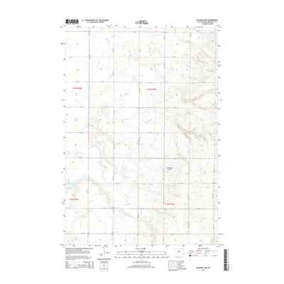
2015 Map of Hickman Lake
USGS Topo · Published 2015About this map
The Coteau des Prairies, a vast glacial upland, dominates this portion of Marshall County. The topography is defined by the subtle undulations and numerous small depressions characteristic of this terminal moraine region. Hickman Lake sits in the southwestern quadrant, serving as a primary hydrological feature in an otherwise agricultural grid. The landscape is meticulously organized by a network of section roads, including 113th St and 121st St, which intersect with north-south routes like 424th Ave and 429th Ave. This layout reflects the enduring influence of the Public Land Survey System on the modern prairie, where the placement of farmsteads and field boundaries remains dictated by the original township and range lines established in the nineteenth century.
Find a feature on this map
21 named features on this map. Tap any name to fly to it.
Don’t see what you’re looking for? This feature index may not catch every label — zoom into the map to look around manually.
Map Details
Editions of this 2015 Hickman Lake Map
This is the sole edition of this map. No revisions or reprints were ever made.
Other maps of this area

1953 · Britton East
USGS Topo · 1:24,000

1953 · Milbank
USGS Topo · 1:250,000

1954 · Kidder SE
USGS Topo · 1:24,000

1956 · Britton West
USGS Topo · 1:24,000

1958 · Milbank
USGS Topo · 1:250,000

1958 · Spain
USGS Topo · 1:24,000

1958 · Britton 4 NW
USGS Topo · 1:24,000

1958 · Britton 4 SW
USGS Topo · 1:24,000

1958 · Langford
USGS Topo · 1:24,000

1970 · Britton 4 NE
USGS Topo · 1:24,000