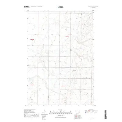
2017 Map of Hickman Lake
USGS Topo · Published 2017About this map
The Coteau des Prairies plateau dominates this section of Marshall County, creating a distinctive landscape of glacial deposits and numerous small prairie potholes. This high ground is punctuated by Hickman Lake in the southwestern portion of the map, a characteristic example of the water bodies that dot this upland region. The topography is defined by the underlying township and range system, with Co Hwy 12 and Co Hwy 20 providing the primary east-west corridors through the rural township divisions. The grid-like road network, including numerous numbered avenues and streets like 113th St and 425th Ave, reflects the systematic agricultural settlement of this northern South Dakota landscape. This map documents the persistent rural character of the region, where the intersection of natural glacial features and precise human-imposed boundaries remains the defining structural element.
Find a feature on this map
23 named features on this map. Tap any name to fly to it.
Don’t see what you’re looking for? This feature index may not catch every label — zoom into the map to look around manually.
Map Details
Editions of this 2017 Hickman Lake Map
This is the sole edition of this map. No revisions or reprints were ever made.
Other maps of this area

1953 · Britton East
USGS Topo · 1:24,000

1953 · Milbank
USGS Topo · 1:250,000

1954 · Kidder SE
USGS Topo · 1:24,000

1956 · Britton West
USGS Topo · 1:24,000

1958 · Milbank
USGS Topo · 1:250,000

1958 · Spain
USGS Topo · 1:24,000

1958 · Britton 4 NW
USGS Topo · 1:24,000

1958 · Britton 4 SW
USGS Topo · 1:24,000

1958 · Langford
USGS Topo · 1:24,000

1970 · Britton 4 NE
USGS Topo · 1:24,000