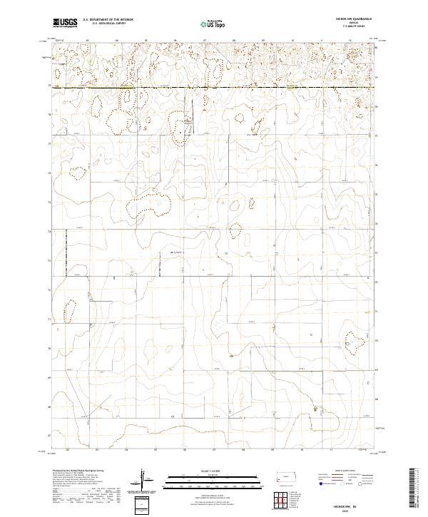
2022 Map of Hickok NW
USGS Topo · Published 2022About this map
Tri Rotor Airport sits at the center of this high-plains landscape, serving the agricultural demands of a region defined by its precise section-line grid. Straddling the boundary between Kearny Co and Grant Co, the area is marked by a rigorous network of rural routes such as Co Line Rd and Co Rd 4. The terrain is characterized by subtle elevation changes and intermittent closed depressions, typical of the western Kansas steppe where water management and aviation are vital to land use. Survey lines like t27s r35w provide a clear spatial framework for the large-scale farming operations that dominate the region, with Deerfield Ln providing a key corridor on the eastern edge of the quadrangle.
Find a feature on this map
25 named features on this map. Tap any name to fly to it.
Don’t see what you’re looking for? This feature index may not catch every label — zoom into the map to look around manually.
Map Details
Editions of this 2022 Hickok NW Map
This is the sole edition of this map. No revisions or reprints were ever made.
Other maps of this area

1891 · Larned
USGS Topo · 1:125,000

1900 · Lakin
USGS Topo · 1:125,000

1955 · Dodge City
USGS Topo · 1:250,000

1958 · Dodge City
USGS Topo · 1:250,000

1959 · Dodge City
USGS Topo · 1:250,000

1959 · Ulysses
USGS Topo · 1:24,000

1959 · Ulysses NE
USGS Topo · 1:24,000

1959 · Hickok NW
USGS Topo · 1:24,000

1959 · Hickok
USGS Topo · 1:24,000

1959 · Hickok NE
USGS Topo · 1:24,000