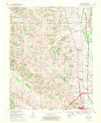
1969 Map of Hickory
USGS Topo · Published 1971About this map
Pottsville and Hickory anchor this rural Kentucky landscape during a period of transition, where established farmsteads and country churches meet modern infrastructure. The Illinois Central railroad runs north-south through the eastern half of the quadrangle, serving the settlements of Viola and West Viola. Local industry and land use are evident in the numerous Gravel Pits and a Claypit scattered near Byrd Creek.
Find a feature on this map
40 named features on this map. Tap any name to fly to it.
Don’t see what you’re looking for? This feature index may not catch every label — zoom into the map to look around manually.
Map Details
Editions of this 1969 Hickory Map
2 editions found
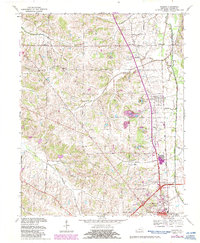
Other maps of this area

1936 · Farmington
USGS Topo · 1:24,000

1936 · Melber
USGS Topo · 1:24,000

1936 · Symsonia
USGS Topo · 1:24,000

1936 · Westplains
USGS Topo · 1:24,000

1951 · Farmington
USGS Topo · 1:24,000

1951 · Melber
USGS Topo · 1:24,000

1951 · Hickory
USGS Topo · 1:24,000
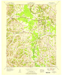
1951 · Symsonia
USGS Topo · 1:24,000
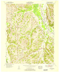
1951 · Westplains
USGS Topo · 1:24,000

1951 · Hickory
USGS Topo · 1:62,500