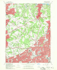
1967 Map of Hicksville
USGS Topo · Published 1969About this map
Hicksville and Oyster Bay anchor this 1960s perspective of Nassau County's rapidly developing suburban landscape. The map captures a transition between the established North Shore estates and the post-war residential expansion further inland. Notable for its concentration of private institutions, the area includes the Long Island University C W Post College and the Hofstra University Old Westbury Campus, alongside the prominent Roosevelt Grave near The Cove.
Find a feature on this map
120 named features on this map. Tap any name to fly to it.
Don’t see what you’re looking for? This feature index may not catch every label — zoom into the map to look around manually.
Map Details
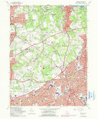
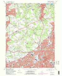
Editions of this 1967 Hicksville Map
3 editions found
Other maps of this area

1897 · Hempstead
USGS Topo · 1:62,500

1897 · Oyster Bay
USGS Topo · 1:62,500

1898 · Hempstead
USGS Topo · 1:62,500

1898 · Oyster Bay
USGS Topo · 1:62,500

1899 · Hempstead
USGS Topo · 1:62,500

1900 · Oyster Bay
USGS Topo · 1:62,500

1901 · Babylon
USGS Topo · 1:62,500

1901 · Northport
USGS Topo · 1:62,500

1903 · Babylon
USGS Topo · 1:62,500

1903 · Northport
USGS Topo · 1:62,500