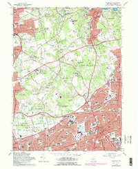
1967 Map of Hicksville
USGS Topo · Published 1979About this map
Hicksville and its neighboring villages in Nassau County are shown during a period of significant suburban growth. The landscape is defined by a dense concentration of private estates, including the Piping Rock Country Club and Meadow Brook Country Club, which speak to the area's history as a prominent residential enclave. Educational expansion is evident through institutions like the Long Island University C W Post College and the State University College at Old Westbury. Transport networks such as the Long Island Railroad and the Northern State Parkway anchor the region, facilitating the transition from a cluster of rural estates to a bustling residential hub. Local heritage is preserved at the Brookville Cem and Plainlawn Cem, while the coastlines of Oyster Bay Harbor and Cove Neck mark the northern boundary of the survey.
Find a feature on this map
94 named features on this map. Tap any name to fly to it.
Don’t see what you’re looking for? This feature index may not catch every label — zoom into the map to look around manually.
Map Details
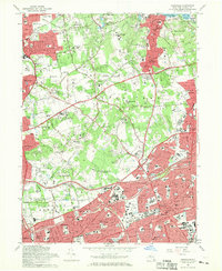
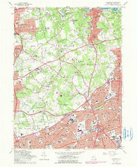
Editions of this 1967 Hicksville Map
3 editions found
Other maps of this area

1897 · Hempstead
USGS Topo · 1:62,500

1897 · Oyster Bay
USGS Topo · 1:62,500

1898 · Hempstead
USGS Topo · 1:62,500

1898 · Oyster Bay
USGS Topo · 1:62,500

1899 · Hempstead
USGS Topo · 1:62,500

1900 · Oyster Bay
USGS Topo · 1:62,500

1901 · Babylon
USGS Topo · 1:62,500

1901 · Northport
USGS Topo · 1:62,500

1903 · Babylon
USGS Topo · 1:62,500

1903 · Northport
USGS Topo · 1:62,500