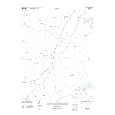
2013 Map of Hico
USGS Topo · Published 2013About this map
Shiloh and Hico anchor this rural landscape in Calloway County, where the terrain is defined by the drainage networks of Johnathon Cr and Sugar Cr as they flow toward the eastern shoreline of Kentucky Lake. The map reveals a dense concentration of family and community burial grounds, such as Sage Hill Cem, Byars Cem, and Winters Cem, which are invaluable for genealogical research in this part of Kentucky.
Find a feature on this map
150 named features on this map. Tap any name to fly to it.
Don’t see what you’re looking for? This feature index may not catch every label — zoom into the map to look around manually.
Map Details
Editions of this 2013 Hico Map
This is the sole edition of this map. No revisions or reprints were ever made.
Other maps of this area

1936 · Hazel
USGS Topo · 1:24,000

1936 · New Concord
USGS Topo · 1:24,000

1936 · Hamlin
USGS Topo · 1:24,000

1936 · Fenton
USGS Topo · 1:24,000

1936 · Hardin
USGS Topo · 1:24,000

1936 · Hiatt
USGS Topo · 1:24,000

1936 · Benton
USGS Topo · 1:48,000

1936 · Golden Pond
USGS Topo · 1:48,000

1936 · Rushing
USGS Topo · 1:24,000

1936 · Dexter
USGS Topo · 1:24,000