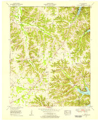
1955 Map of Hico
USGS Topo · Published 1956About this map
Hico sits at the center of this 1955 field revision, a period when the newly created Kentucky Lake was reshaping the eastern edge of Calloway County. The landscape is a network of small family farming communities and rural institutions, evidenced by the numerous cemeteries like Shiloh Cem and Sage Hill Cem that dot the ridges. To the east, the shoreline of the Tennessee River reservoir is well-established, featuring recreational developments such as Irvin Cobb Resort and Ky Lake State Park.
Find a feature on this map
43 named features on this map. Tap any name to fly to it.
Don’t see what you’re looking for? This feature index may not catch every label — zoom into the map to look around manually.
Map Details
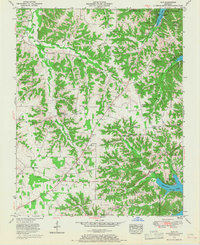
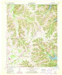
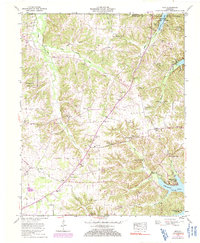
Editions of this 1955 Hico Map
4 editions found
Other maps of this area

1936 · Hazel
USGS Topo · 1:24,000

1936 · New Concord
USGS Topo · 1:24,000

1936 · Hamlin
USGS Topo · 1:24,000

1936 · Fenton
USGS Topo · 1:24,000

1936 · Hardin
USGS Topo · 1:24,000

1936 · Hiatt
USGS Topo · 1:24,000

1936 · Benton
USGS Topo · 1:48,000

1936 · Golden Pond
USGS Topo · 1:48,000

1936 · Rushing
USGS Topo · 1:24,000

1936 · Dexter
USGS Topo · 1:24,000