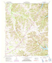
1955 Map of Hico
USGS Topo · Published 1991About this map
Kenlake State Park anchors the northeastern shore of Kentucky Lake, reflecting the era of post-war recreation and TVA water management in Calloway County. This mid-century landscape is defined by its numerous family burial grounds, including the Skinner, Miller, and Outland cemeteries, which offer valuable data for genealogical research. The rural character of the region is punctuated by small settlements such as Hico, Faxon, and Shiloh, each serving as a hub for local life with institutions like Faxon Sch and various country churches.
Find a feature on this map
48 named features on this map. Tap any name to fly to it.
Don’t see what you’re looking for? This feature index may not catch every label — zoom into the map to look around manually.
Map Details
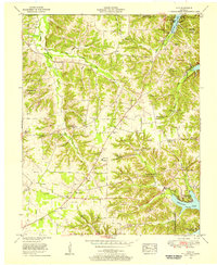
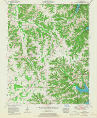
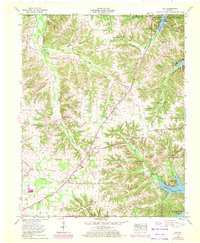
Editions of this 1955 Hico Map
4 editions found
Other maps of this area

1936 · Hazel
USGS Topo · 1:24,000

1936 · New Concord
USGS Topo · 1:24,000

1936 · Hamlin
USGS Topo · 1:24,000

1936 · Fenton
USGS Topo · 1:24,000

1936 · Hardin
USGS Topo · 1:24,000

1936 · Hiatt
USGS Topo · 1:24,000

1936 · Benton
USGS Topo · 1:48,000

1936 · Golden Pond
USGS Topo · 1:48,000

1936 · Rushing
USGS Topo · 1:24,000

1936 · Dexter
USGS Topo · 1:24,000