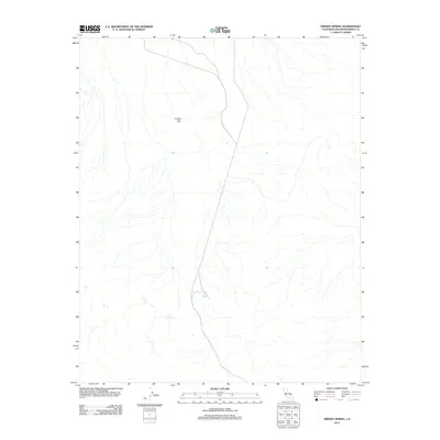
2012 Map of Hidden Spring
USGS Topo · Published 2012About this map
Crystal Hills rise through this high desert terrain in northern San Bernardino County, where the topography is defined by complex drainage patterns and dry wash systems. The namesake Hidden Spring serves as a critical point of interest in this arid landscape, located near the center of the sheet along a north-south desert route. This 2012 survey by the U.S. Geological Survey details the isolated nature of the region, showing few man-made developments apart from the primary road that bisects the quadrangle. For those studying California's desert history or tracking early twentieth-century travel routes, the map offers precise spatial data on the location of water sources and geographical landmarks that were vital to traversing the Mojave's interior.
Find a feature on this map
2 named features on this map. Tap any name to fly to it.
Don’t see what you’re looking for? This feature index may not catch every label — zoom into the map to look around manually.
Map Details
Editions of this 2012 Hidden Spring Map
This is the sole edition of this map. No revisions or reprints were ever made.
Other maps of this area
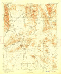
1915 · Searles Lake
USGS Topo · 1:250,000

1933 · Avawatz Mountains
USGS Topo · 1:250,000

1947 · Trona
USGS Topo · 1:250,000

1948 · Trona
USGS Topo · 1:250,000
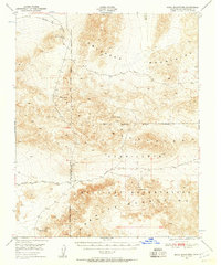
1948 · Quail Mountains
USGS Topo · 1:62,500
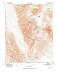
1950 · Manly Peak
USGS Topo · 1:62,500
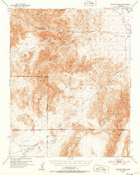
1950 · Wingate Wash
USGS Topo · 1:62,500
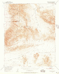
1950 · Wingate Pass
USGS Topo · 1:62,500
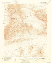
1951 · Wingate Pass
USGS Topo · 1:62,500
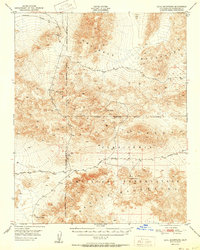
1951 · Quail Mountains
USGS Topo · 1:62,500