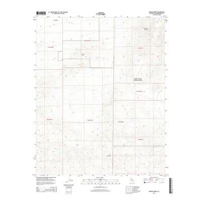
2015 Map of Hidden Spring
USGS Topo · Published 2015About this map
Death Valley National Park encompasses the eastern half of this terrain, where the high slopes of the Owlshead Mountains descend toward the floor of the Mojave Desert. The map documents a stark desert landscape defined by severe topographical relief, ranging from the wide expanse of Long Valley in the northwest to the concentrated peaks of the Quail Mountains in the south.
Find a feature on this map
14 named features on this map. Tap any name to fly to it.
Don’t see what you’re looking for? This feature index may not catch every label — zoom into the map to look around manually.
Map Details
Editions of this 2015 Hidden Spring Map
This is the sole edition of this map. No revisions or reprints were ever made.
Other maps of this area
1915 · Searles Lake
USGS Topo · 1:250,000

1933 · Avawatz Mountains
USGS Topo · 1:250,000

1947 · Trona
USGS Topo · 1:250,000

1948 · Trona
USGS Topo · 1:250,000
1948 · Quail Mountains
USGS Topo · 1:62,500
1950 · Manly Peak
USGS Topo · 1:62,500
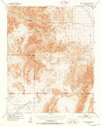
1950 · Wingate Wash
USGS Topo · 1:62,500
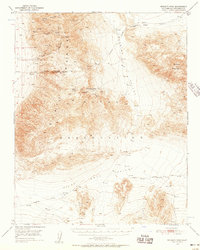
1950 · Wingate Pass
USGS Topo · 1:62,500
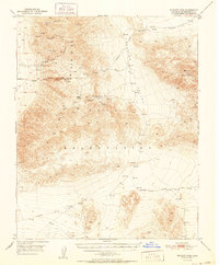
1951 · Wingate Pass
USGS Topo · 1:62,500
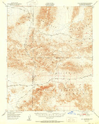
1951 · Quail Mountains
USGS Topo · 1:62,500