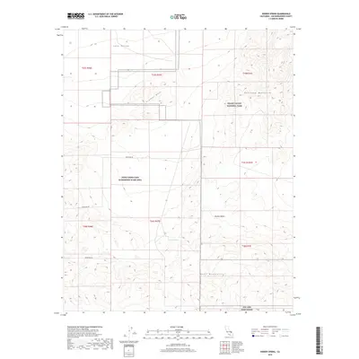
2018 Map of Hidden Spring
USGS Topo · Published 2018About this map
Hidden Spring serves as a central focal point in this 2018 survey of the high Mojave Desert. This desert landscape is defined by the intersection of significant land management boundaries, including the southern reaches of Death Valley National Park and the restricted NAWS China Lake Randsburg Wash Area. The terrain is characterized by the prominent elevations of the Owlshead Mountains to the northeast and the Quail Mountains to the south, with the Crystal Hills and Long Valley forming distinct topographical transitions between these ranges. Navigational access is largely restricted to Goldstone Rd, which skirts the western edge of the military reservation. To the southeast, the map captures a portion of NTC and Fort Irwin, illustrating the extensive federal and military footprint that shapes this part of San Bernardino County.
Find a feature on this map
17 named features on this map. Tap any name to fly to it.
Don’t see what you’re looking for? This feature index may not catch every label — zoom into the map to look around manually.
Map Details
Editions of this 2018 Hidden Spring Map
This is the sole edition of this map. No revisions or reprints were ever made.
Other maps of this area
1915 · Searles Lake
USGS Topo · 1:250,000

1933 · Avawatz Mountains
USGS Topo · 1:250,000

1947 · Trona
USGS Topo · 1:250,000

1948 · Trona
USGS Topo · 1:250,000
1948 · Quail Mountains
USGS Topo · 1:62,500
1950 · Manly Peak
USGS Topo · 1:62,500
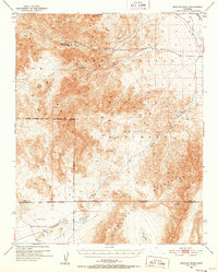
1950 · Wingate Wash
USGS Topo · 1:62,500
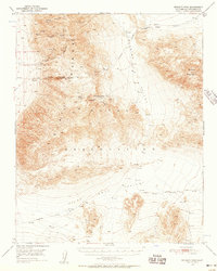
1950 · Wingate Pass
USGS Topo · 1:62,500
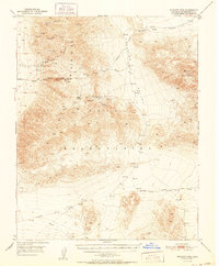
1951 · Wingate Pass
USGS Topo · 1:62,500
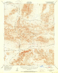
1951 · Quail Mountains
USGS Topo · 1:62,500