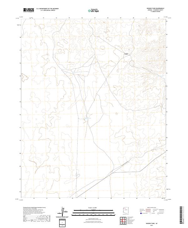
2021 Map of Higgins Tank
USGS Topo · Published 2021About this map
Higgins Tank and Jones Tank provide critical water infrastructure in this arid stretch of the Coconino plateau. The landscape is defined by the deep incisions of Hualapai Canyon to the north, which shapes the local topography and drainage patterns. Transportation across this high-desert terrain is centered on the Hualapai Hilltop Hwy, which cuts across the southern portion of the quadrangle. This 2021 survey illustrates the modern configuration of range improvements and access routes within the Public Land Survey System grids, including townships T32N, T31N, and T30N. The relationship between the road and the canyon rim reflects the primary corridor for movement through this sparsely populated region of Northern Arizona.
Find a feature on this map
13 named features on this map. Tap any name to fly to it.
Don’t see what you’re looking for? This feature index may not catch every label — zoom into the map to look around manually.
Map Details
Editions of this 2021 Higgins Tank Map
This is the sole edition of this map. No revisions or reprints were ever made.
Other maps of this area

1886 · Chino
USGS Topo · 1:250,000

1886 · Kaibab
USGS Topo · 1:250,000

1891 · Chino
USGS Topo · 1:250,000

1948 · Williams
USGS Topo · 1:250,000

1953 · Grand Canyon
USGS Topo · 1:250,000

1954 · Williams
USGS Topo · 1:250,000

1956 · Williams
USGS Topo · 1:250,000

1957 · Grand Canyon
USGS Topo · 1:250,000

1958 · Grand Canyon
USGS Topo · 1:250,000

1960 · Williams
USGS Topo · 1:250,000