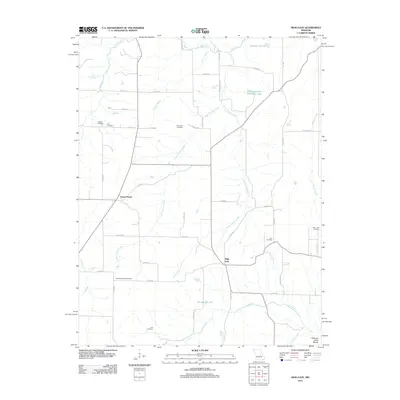
2012 Map of High Gate
USGS Topo · Published 2012About this map
The Northern Ozark Border transition defines this landscape in Maries County, where the plateau gives way to the drainage systems of Dry Fork and Lanes Fork. The settlement of Lanes Prairie sits at a crossroads in the western portion of the map, while High Gate serves as a central landmark further east. This area is notably dense with family and community burial sites, providing a significant resource for genealogical research. Documented locations include Walker Cemetery, Cook Cemetery, and Moreland Cemetery in the north, while Bowles Chapel Cemetery and Hart Cemetery are situated to the south. The complex hydrology of the region is evident in the branching of Upper Peavine Creek and Lower Peavine Creek, which carve through the terrain alongside named reservoirs such as Number 70 Lake and Whippoorwill Hill Farm Lake.
Find a feature on this map
54 named features on this map. Tap any name to fly to it.
Don’t see what you’re looking for? This feature index may not catch every label — zoom into the map to look around manually.
Map Details
Editions of this 2012 High Gate Map
This is the sole edition of this map. No revisions or reprints were ever made.
Other maps of this area

1934 · Linn
USGS Topo · 1:48,000

1934 · Bland
USGS Topo · 1:62,500

1934 · Redbird
USGS Topo · 1:62,500

1937 · Bland
USGS Topo · 1:62,500

1937 · Vienna
USGS Topo · 1:62,500

1938 · Redbird
USGS Topo · 1:62,500

1938 · Vienna
USGS Topo · 1:48,000

1942 · Linn
USGS Topo · 1:62,500

1945 · Linn
USGS Topo · 1:62,500

1949 · Saint Louis
USGS Topo · 1:250,000