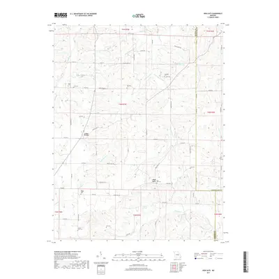
2017 Map of High Gate
USGS Topo · Published 2017About this map
Lanes Prairie and High Gate anchor this section of Maries County, where the landscape is defined by the headwaters and branches of numerous local drainages. The topography is shaped by the winding courses of Peavine Cr, Dry Fork, and Lanes Fork, which carve through the terrain and create a complex network of ridges and valleys. A striking number of family and community burial sites are scattered across these highlands, including Grovedale Cem, Oak Forest Cem, and Hickory Grove Cem, reflecting a long history of rural settlement near the Gasconade and Phelps county lines.
Find a feature on this map
77 named features on this map. Tap any name to fly to it.
Don’t see what you’re looking for? This feature index may not catch every label — zoom into the map to look around manually.
Map Details
Editions of this 2017 High Gate Map
This is the sole edition of this map. No revisions or reprints were ever made.
Other maps of this area
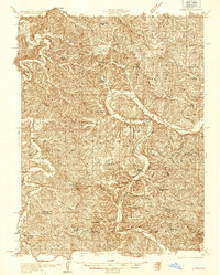
1934 · Linn
USGS Topo · 1:48,000
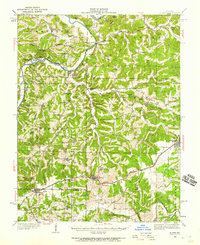
1934 · Bland
USGS Topo · 1:62,500
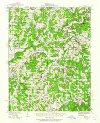
1934 · Redbird
USGS Topo · 1:62,500
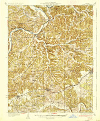
1937 · Bland
USGS Topo · 1:62,500
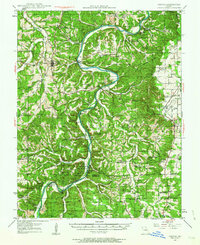
1937 · Vienna
USGS Topo · 1:62,500
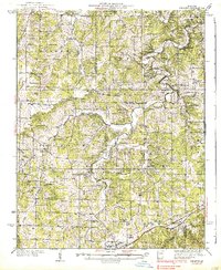
1938 · Redbird
USGS Topo · 1:62,500
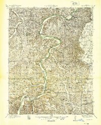
1938 · Vienna
USGS Topo · 1:48,000
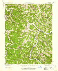
1942 · Linn
USGS Topo · 1:62,500
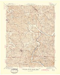
1945 · Linn
USGS Topo · 1:62,500
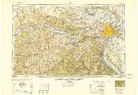
1949 · Saint Louis
USGS Topo · 1:250,000