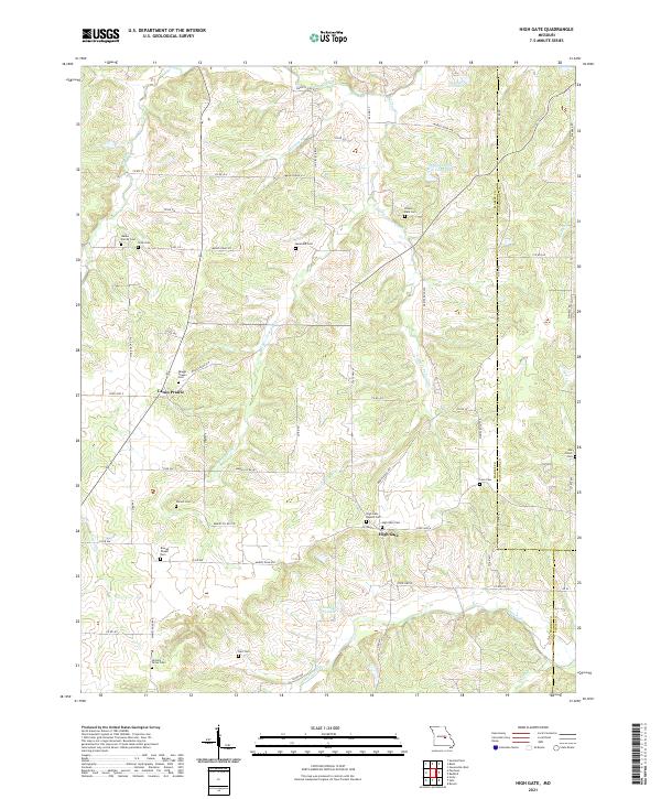
2021 Map of High Gate
USGS Topo · Published 2021About this map
Lanes Prairie and High Gate serve as the primary hubs for this rural landscape where Maries, Gasconade, and Phelps Counties converge. The settlement pattern is defined by a high density of family and community burial grounds, such as Walker Family Cem, Skaggs Chapel Cem, and the Pinnell Cem, reflecting deep-rooted generational ties to the land. This 2021 survey illustrates a region shaped by a complex network of tributaries, including Upper Peavine Cr and Lanes Fork, which carve through the terrain between established county roads.
Find a feature on this map
73 named features on this map. Tap any name to fly to it.
Don’t see what you’re looking for? This feature index may not catch every label — zoom into the map to look around manually.
Map Details
Editions of this 2021 High Gate Map
This is the sole edition of this map. No revisions or reprints were ever made.
Other maps of this area

1934 · Linn
USGS Topo · 1:48,000

1934 · Bland
USGS Topo · 1:62,500

1934 · Redbird
USGS Topo · 1:62,500

1937 · Bland
USGS Topo · 1:62,500

1937 · Vienna
USGS Topo · 1:62,500

1938 · Redbird
USGS Topo · 1:62,500

1938 · Vienna
USGS Topo · 1:48,000

1942 · Linn
USGS Topo · 1:62,500

1945 · Linn
USGS Topo · 1:62,500

1949 · Saint Louis
USGS Topo · 1:250,000