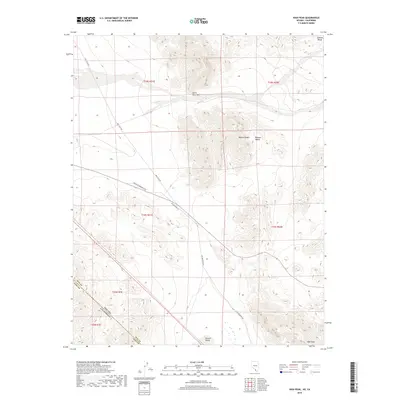
2018 Map of High Peak
USGS Topo · Published 2018About this map
Stewart Valley dominates the lower half of this landscape, bisected by the diagonal state boundary dividing Nevada and California. This 2018 survey reveals a terrain defined by stark topographic shifts, moving from the broad basin of the valley floor up into the arid elevations of the Devils Hole Hills and the southern reach of the Johnnie Range. The map documents a critical transportation corridor through the Mojave Desert, where the Bob Ruud Memorial Hwy and Ash Meadows Rd converge to navigate the arid flats. To the southeast, the terrain culminates at the namesake High Peak, overlooking a complex system of township and range lines that grid the desert floor. The proximity to the Nye and Inyo county line highlights the administrative boundaries that have shaped land management in this portion of the desert for decades.
Find a feature on this map
14 named features on this map. Tap any name to fly to it.
Don’t see what you’re looking for? This feature index may not catch every label — zoom into the map to look around manually.
Map Details
Editions of this 2018 High Peak Map
This is the sole edition of this map. No revisions or reprints were ever made.
Other maps of this area

1908 · Furnace Creek
USGS Topo · 1:250,000

1910 · Furnace Creek
USGS Topo · 1:250,000
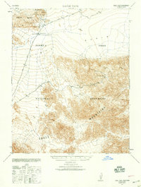
1940 · Eagle Tank
USGS Topo · 1:62,500

1948 · Death Valley
USGS Topo · 1:250,000
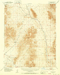
1951 · Eagle Mtn
USGS Topo · 1:62,500
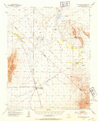
1952 · Ash Meadows
USGS Topo · 1:62,500

1954 · Death Valley
USGS Topo · 1:250,000

1956 · Death Valley
USGS Topo · 1:250,000
1957 · Death Valley
USGS Topo · 1:250,000
1958 · Death Valley
USGS Topo · 1:250,000