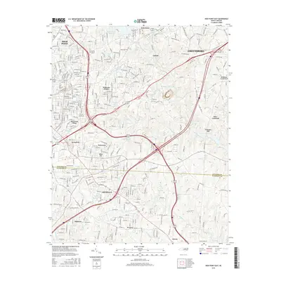
2016 Map of High Point East
USGS Topo · Published 2016About this map
Jamestown and Oakdale anchor the central portion of this survey, illustrating the complex suburban and industrial development along the Deep River during the early twenty-first century. This landscape is defined by its numerous water bodies, including High Point Lake and the Jamestown Quarry Lake, which reflect the historic and contemporary industrial needs of the region. The map captures the significant expansion of High Point and Greensboro, showing how their peripheries have merged into a continuous corridor of named neighborhoods like Sherwood Village and Melborne Heights. Educational landmarks such as High Point Univ and John Wesley Coll are prominent in the western sector, while the southern portion transitions across the Guilford County and Randolph County line toward Archdale. Small historic nodes like Freeman Mill and Miles Crossroad remain identifiable amidst a dense network of modern roads and transit arteries.
Find a feature on this map
311 named features on this map. Tap any name to fly to it.
Don’t see what you’re looking for? This feature index may not catch every label — zoom into the map to look around manually.
Map Details
Editions of this 2016 High Point East Map
This is the sole edition of this map. No revisions or reprints were ever made.
Other maps of this area

1949 · High Point West
USGS Topo · 1:24,000

1950 · High Point East
USGS Topo · 1:24,000

1951 · High Point East
USGS Topo · 1:24,000

1951 · Guilford
USGS Topo · 1:24,000

1951 · Fair Grove
USGS Topo · 1:24,000

1951 · Greensboro
USGS Topo · 1:24,000

1953 · Raleigh
USGS Topo · 1:250,000

1953 · Charlotte
USGS Topo · 1:250,000

1953 · Winston-Salem
USGS Topo · 1:250,000

1953 · Greensboro
USGS Topo · 1:250,000