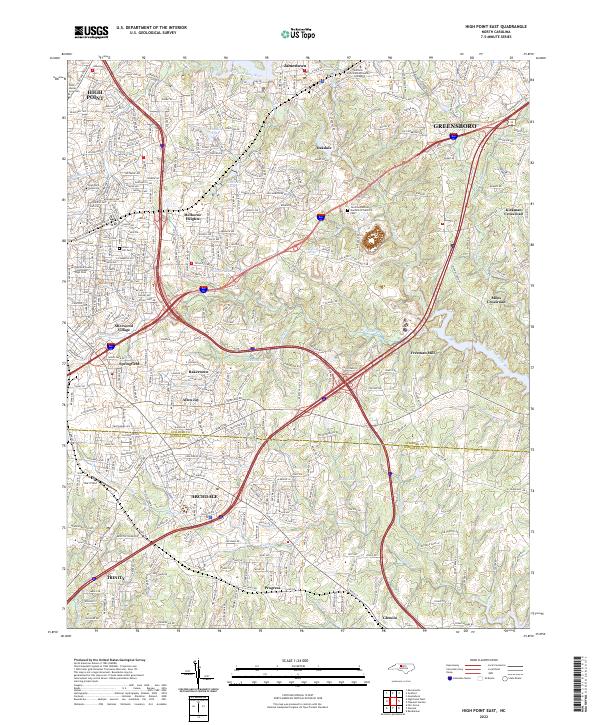
2022 Map of High Point East
USGS Topo · Published 2022About this map
The West Fork Deep River and Deep River form a natural corridor through this bustling region of the Piedmont, where the suburban growth of High Point and Greensboro meets the northern edge of the Guilford Co and Randolph Co line. This landscape is a center of higher education and civic life, featuring the campuses of High Point University, John Wesley University, and Guilford Technical Community College. Local history is anchored by the Guilford County Courthouse High Point and traditional neighborhoods like Melbourne Heights and Oakdale.
Find a feature on this map
345 named features on this map. Tap any name to fly to it.
Don’t see what you’re looking for? This feature index may not catch every label — zoom into the map to look around manually.
Map Details
Editions of this 2022 High Point East Map
This is the sole edition of this map. No revisions or reprints were ever made.
Other maps of this area

1949 · High Point West
USGS Topo · 1:24,000

1950 · High Point East
USGS Topo · 1:24,000

1951 · High Point East
USGS Topo · 1:24,000

1951 · Guilford
USGS Topo · 1:24,000

1951 · Fair Grove
USGS Topo · 1:24,000

1951 · Greensboro
USGS Topo · 1:24,000

1953 · Raleigh
USGS Topo · 1:250,000

1953 · Charlotte
USGS Topo · 1:250,000

1953 · Winston-Salem
USGS Topo · 1:250,000

1953 · Greensboro
USGS Topo · 1:250,000