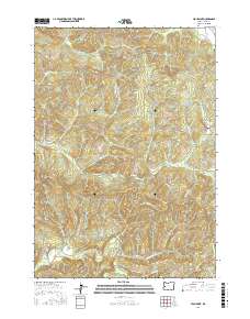
2017 Map of High Point
USGS Topo · Published 2017About this map
The Siuslaw River winds through the southwestern corner of this landscape, defining the topography near the small settlement of Alma. This area of Lane County is characterized by a dense network of watercourses and ridges, where Timber Ridge and High Point stand as primary landmarks. The presence of numerous logging and access routes, such as Wolf Creek Rd and various Bureau of Land Management roads, highlights the importance of the timber industry and forest management in this region during the early twenty-first century.
Find a feature on this map
88 named features on this map. Tap any name to fly to it.
Don’t see what you’re looking for? This feature index may not catch every label — zoom into the map to look around manually.
Map Details
Editions of this 2017 High Point Map
This is the sole edition of this map. No revisions or reprints were ever made.
Other maps of this area
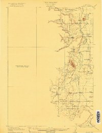
1909 · Elmira
USGS Topo · 1:62,500
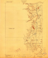
1922 · Elmira
USGS Topo · 1:62,500
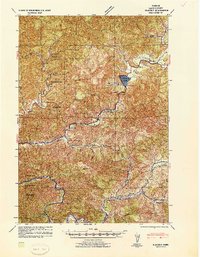
1941 · Blachly
USGS Topo · 1:62,500
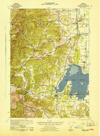
1942 · Elmira
USGS Topo · 1:62,500
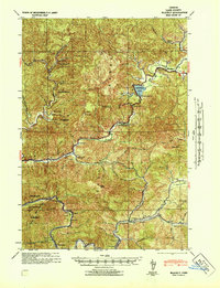
1942 · Blachly
USGS Topo · 1:62,500
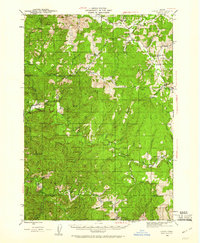
1942 · Crow
USGS Topo · 1:62,500
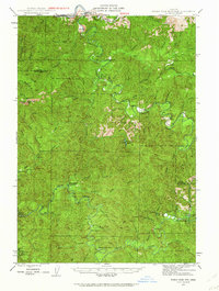
1942 · Roman Nose Mtn
USGS Topo · 1:62,500
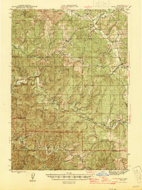
1945 · Crow
USGS Topo · 1:62,500
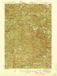
1945 · Roman Nose Mtn
USGS Topo · 1:62,500

1953 · Salem
USGS Topo · 1:250,000