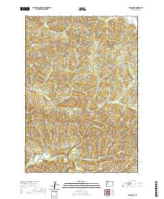
2020 Map of High Point
USGS Topo · Published 2020About this map
The Siuslaw River winds through this reach of Lane County, carving a valley that anchors the small settlement of Alma. This area is defined by its timber-producing landscape, where a dense network of logging infrastructure like Wolf Creek Rd and Siuslaw River Rd provides access to the steep drainage basins of Wildcat Cr and Pheasant Cr. High-elevation landmarks such as Stony Point, Letsom Mtn, and High Point offer a clear picture of the region's vertical relief and the strategic placement of forest management roads. Local water resources, including the Carroll Reservoir and various creeks like Holland Cr, show the critical relationship between the river system and the surrounding ridgelines like Timber Ridge. The map detail captures a specific moment in the active management of these western Oregon forests, detailing the exact paths of numerous BLM and fire access roads.
Find a feature on this map
51 named features on this map. Tap any name to fly to it.
Don’t see what you’re looking for? This feature index may not catch every label — zoom into the map to look around manually.
Map Details
Editions of this 2020 High Point Map
This is the sole edition of this map. No revisions or reprints were ever made.
Other maps of this area
1909 · Elmira
USGS Topo · 1:62,500
1922 · Elmira
USGS Topo · 1:62,500
1941 · Blachly
USGS Topo · 1:62,500
1942 · Elmira
USGS Topo · 1:62,500
1942 · Blachly
USGS Topo · 1:62,500
1942 · Crow
USGS Topo · 1:62,500
1942 · Roman Nose Mtn
USGS Topo · 1:62,500
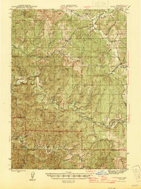
1945 · Crow
USGS Topo · 1:62,500
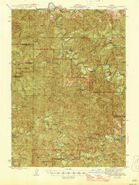
1945 · Roman Nose Mtn
USGS Topo · 1:62,500

1953 · Salem
USGS Topo · 1:250,000