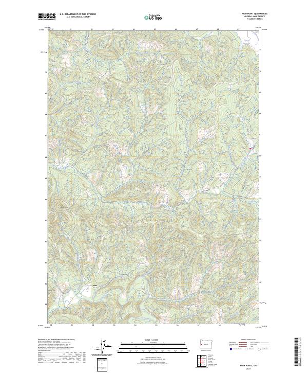
2023 Map of High Point
USGS Topo · Published 2023About this map
The small settlement of Alma serves as the primary focal point in this portion of Lane County, situated where the Siuslaw River begins to wind through a landscape defined by significant timbered elevations. This 2023 survey illustrates a region shaped by modern forestry and land management, with an extensive network of access routes like A-Line and BLM Rd 19-6-29 crisscrossing the high ground. Prominent peaks such as High Point, Stony Point, and Letsom Mtn overlook a dense drainage system of named tributaries, including Wildcat Creek, Wolf Creek, and Conger Creek. The presence of the Carrol Reservoir in the northeast corner and the winding course of the Siuslaw River Rd highlight the vital connection between the area's water resources and its transportation corridors. This map provides a detailed view of the terrain before the river flows further west toward the coast, documenting the contemporary state of these managed timberlands.
Find a feature on this map
51 named features on this map. Tap any name to fly to it.
Don’t see what you’re looking for? This feature index may not catch every label — zoom into the map to look around manually.
Map Details
Editions of this 2023 High Point Map
This is the sole edition of this map. No revisions or reprints were ever made.
Other maps of this area

1909 · Elmira
USGS Topo · 1:62,500

1922 · Elmira
USGS Topo · 1:62,500

1941 · Blachly
USGS Topo · 1:62,500

1942 · Elmira
USGS Topo · 1:62,500

1942 · Blachly
USGS Topo · 1:62,500

1942 · Crow
USGS Topo · 1:62,500

1942 · Roman Nose Mtn
USGS Topo · 1:62,500

1945 · Crow
USGS Topo · 1:62,500

1945 · Roman Nose Mtn
USGS Topo · 1:62,500

1953 · Salem
USGS Topo · 1:250,000