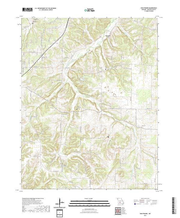
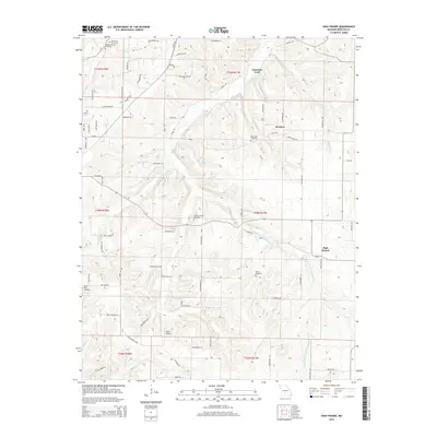
2021 Map of High Prairie
USGS Topo · Published 2021About this map
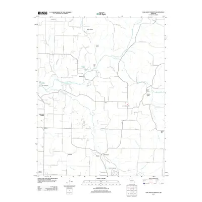
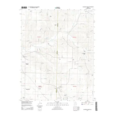
The Osage Fork Gasconade River winds through this portion of Webster County, carving a path through the undulating Ozark landscape near Johnston Ford. This 2021 survey documents a rural Missouri corridor where modern development, such as Wells Airport, exists alongside long-established family and community landmarks. Genealogists will find a high density of burial sites throughout the township, including Robertson-Buck Cem, Black Oak Cem, and Shields-Corinth Cem. The map illustrates a network of local transit where State Hwy DD and State Hwy CC connect remote farmsteads and residential clusters. Small watercourses like Hannah Br and Bracken Cr feed into the primary river system, supporting the agricultural character of the High Prairie area.
Find a feature on this map
79 named features on this map. Tap any name to fly to it.
Don’t see what you’re looking for? This feature index may not catch every label — zoom into the map to look around manually.
Map Details
Editions of this 2021 High Prairie Map
This is the sole edition of this map. No revisions or reprints were ever made.
Historical Maps of High Prairie Through Time
27 maps found
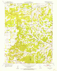
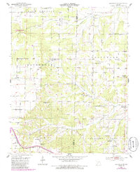
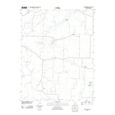
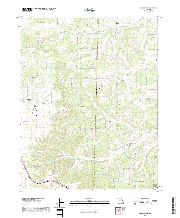
1951 Mansfield NW
Webster County, MO
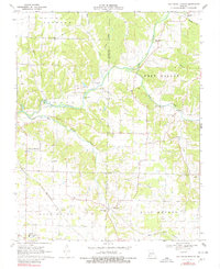
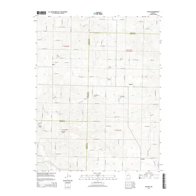
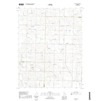
1970 Elkland
Webster County, MO
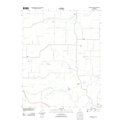
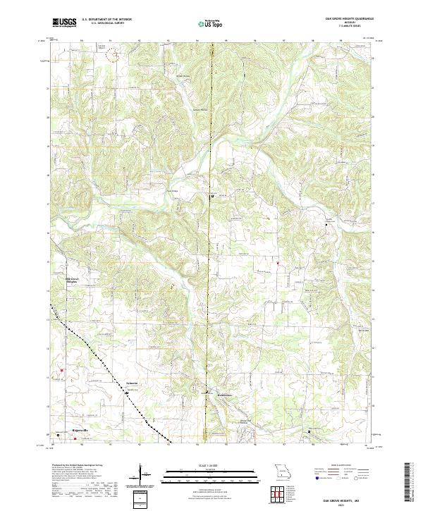
1970 Oak Grove Heights
Webster County, MO

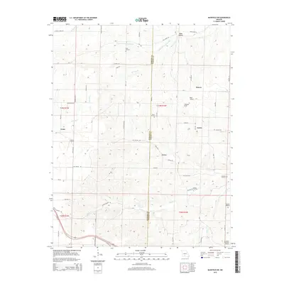
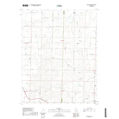
1977 Mansfield NW
Webster County, MO
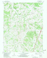
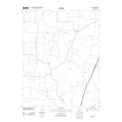
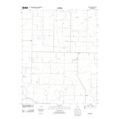
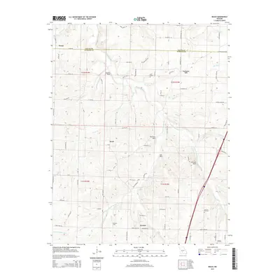
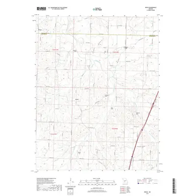
1982 Beach
Webster County, MO
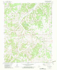
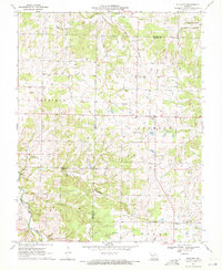
1982 High Prairie
Webster County, MO
1985 Mansfield NW
Webster County, MO
2011 Beach
Webster County, MO
2011 Elkland
Webster County, MO
2011 Mansfield NW
Webster County, MO
2011 Oak Grove Heights
Webster County, MO
2012 High Prairie
Webster County, MO
2015 Beach
Webster County, MO
2015 Elkland
Webster County, MO
2015 High Prairie
Webster County, MO
2015 Mansfield NW
Webster County, MO
2015 Oak Grove Heights
Webster County, MO
2017 Beach
Webster County, MO
2017 Elkland
Webster County, MO
2017 High Prairie
Webster County, MO
2017 Mansfield NW
Webster County, MO
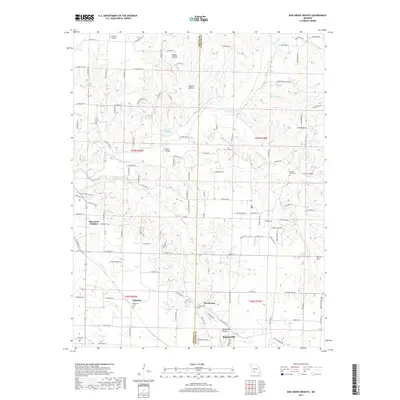
2017 Oak Grove Heights
Webster County, MO
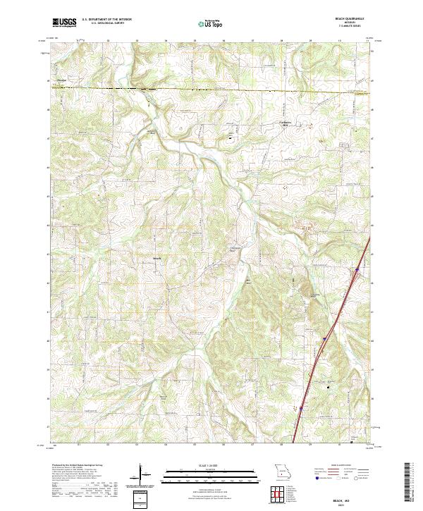
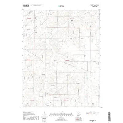
2021 Beach
Webster County, MO
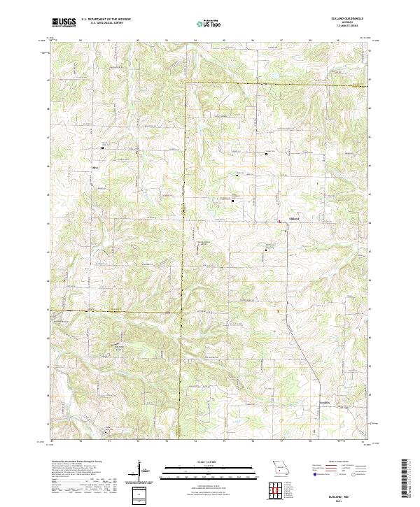
2021 Elkland
Webster County, MO
2021 High Prairie
Webster County, MO
2021 Mansfield NW
Webster County, MO
2021 Oak Grove Heights
Webster County, MO