2024 Map of High Springs
USGS Topo · Published 2024About this map
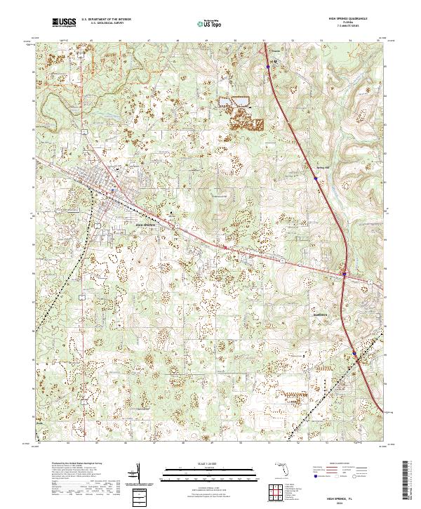
The Santa Fe River defines the northern reaches of this Alachua and Columbia County borderland, where the distinctive Hornsby Spring and Suck Hole highlight the region's complex karst topography. In High Springs, the layout of the town is firmly tied to its rail heritage, with the grid organized around NE Railroad Ave, NW Railroad Ave, and SE Railroad Ave. This 2024 survey captures the settlement patterns of a landscape marked by family and community history, evidenced by numerous burial grounds including High Springs Cem, Spring Hill Cem, and Cathcart Cem. From the small settlement of Traxler near the river to the southern area of Buda, the map traces the evolution of rural Florida through its named hills like Underwood Hill and the winding course of Mill Creek.
Find a feature on this map
135 named features on this map. Tap any name to fly to it.
Don’t see what you’re looking for? This feature index may not catch every label — zoom into the map to look around manually.
Map Details
Editions of this 2024 High Springs Map
This is the sole edition of this map. No revisions or reprints were ever made.