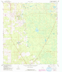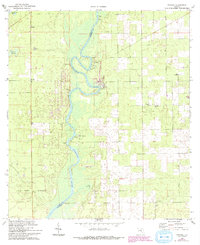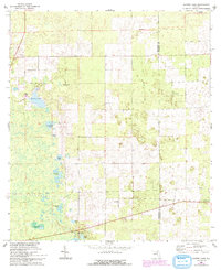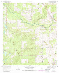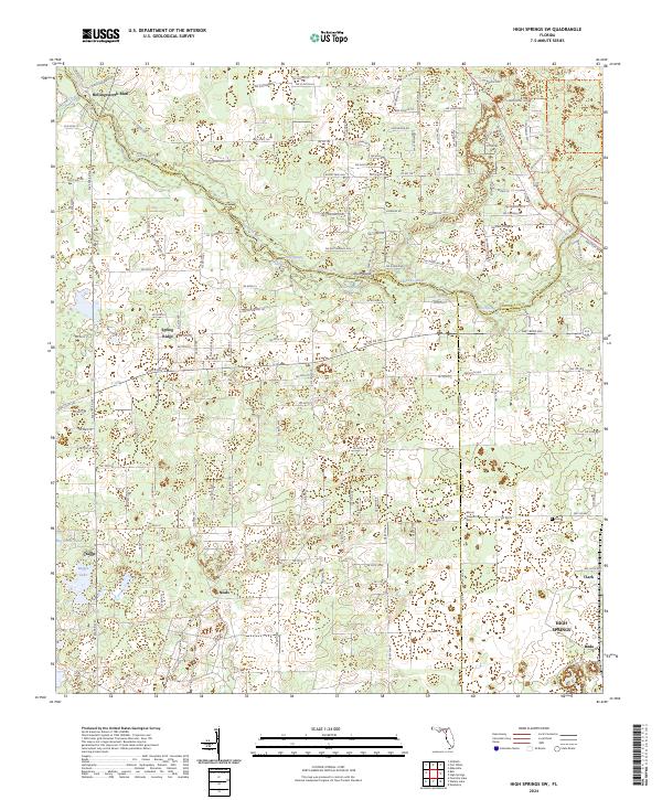
2024 Map of High Springs SW
USGS Topo · Published 2024About this map
The Santa Fe River serves as the primary geographical axis for this region, winding through the northern reaches where Gilchrist, Columbia, and Alachua counties converge. This river corridor is exceptionally dense with freshwater springs, including Ginnie Spring, Blue Springs, Lilly Spring, and Poe Spring, indicating a landscape deeply tied to the Floridan aquifer. To the south, the terrain transitions into a grid of rural roads and agricultural plots, punctuated by small community nodes such as Neals and Buda. Genealogy researchers will find several significant sites, notably the Mount Pleasant Cem and Nobel Hill Cem located along the rural routes south of the river. The map also captures several distinct settlements and landmarks like Hollingsworth Bluff and Spring Ridge, reflecting a settlement pattern defined by proximity to water resources and the established road network connecting High Springs to the surrounding hinterlands.
Find a feature on this map
135 named features on this map. Tap any name to fly to it.
Don’t see what you’re looking for? This feature index may not catch every label — zoom into the map to look around manually.
Map Details
Editions of this 2024 High Springs SW Map
This is the sole edition of this map. No revisions or reprints were ever made.
Historical Maps of High Springs Through Time
8 maps found