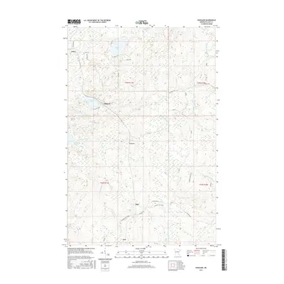
2016 Map of Highland
USGS Topo · Published 2016About this map
Highland sits at the center of this 2016 survey, representing a dispersed residential pattern common in the lake-studded interior of Lake County. The landscape is defined by its complex drainage network, where the Gooseberry River and Little Gooseberry River wind through heavily forested sections of Township 55 North. Notable settlements like Alger, Wales, and Lauren are connected by a web of local routes and trails, including the N Shore State Trail, which cuts across the southern portion of the quadrangle.
Find a feature on this map
36 named features on this map. Tap any name to fly to it.
Don’t see what you’re looking for? This feature index may not catch every label — zoom into the map to look around manually.
Map Details
Editions of this 2016 Highland Map
This is the sole edition of this map. No revisions or reprints were ever made.
Other maps of this area
1953 · Whyte
USGS Topo · 1:62,500
1954 · Mc Carthy Creek
USGS Topo · 1:24,000
1954 · Two Harbors
USGS Topo · 1:250,000
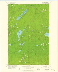
1956 · King Lake
USGS Topo · 1:24,000
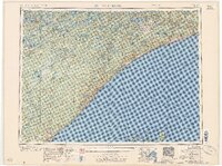
1957 · Two Harbors
USGS Topo · 1:250,000
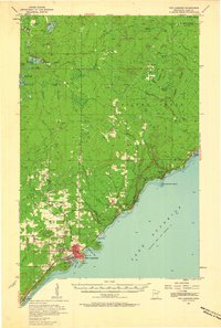
1957 · Two Harbors
USGS Topo · 1:62,500
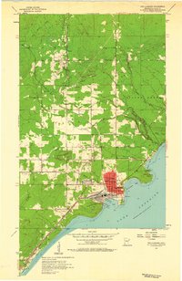
1957 · Two Harbors
USGS Topo · 1:24,000
1957 · Brimson
USGS Topo · 1:62,500
1957 · Two Harbors NE
USGS Topo · 1:24,000
1957 · Castle Danger
USGS Topo · 1:24,000