
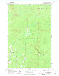
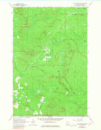
1957 Map of Two Harbors NE
USGS Topo · Published 1958About this map
The Gooseberry River and Encampment River carve through this landscape in Lake County, defining a region where timber and transportation history are etched into the terrain. In the late 1950s, the area around London and Beaver Crossing remained largely wild, marked by the industrial legacy of an Old Railroad Grade that once hauled timber from the interior. Elevations rise at Gustafson Hill and the Bluffs, while drainage patterns are dominated by the extensive Murphy Swamp and numerous smaller tributaries like Stony Creek and Dago Creek. A solitary Bud Hill Lookout Tower stands as a sentinel over the forest in the northeast corner, reflecting the era's fire-management infrastructure. The distribution of Gravel Pits and the winding road network suggest a transition from logging toward more permanent rural infrastructure in this part of the Silver Creek township.
Find a feature on this map
17 named features on this map. Tap any name to fly to it.
Don’t see what you’re looking for? This feature index may not catch every label — zoom into the map to look around manually.
Map Details
Editions of this 1957 Two Harbors NE Map
3 editions found
Other maps of this area

1953 · Whyte
USGS Topo · 1:62,500

1954 · Silver Bay
USGS Topo · 1:62,500

1954 · Two Harbors
USGS Topo · 1:250,000

1956 · Split Rock Point
USGS Topo · 1:24,000

1956 · Split Rock Point
USGS Topo · 1:62,500

1957 · Two Harbors
USGS Topo · 1:250,000

1957 · Two Harbors
USGS Topo · 1:62,500

1957 · Two Harbors
USGS Topo · 1:24,000

1957 · Castle Danger
USGS Topo · 1:24,000

1958 · Two Harbors
USGS Topo · 1:250,000