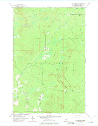
1957 Map of Two Harbors NE
USGS Topo · Published 1975About this map
London and Beaver Crossing anchor this 1957 survey of Lake County, where the transition from timber extraction to a regenerating woodland is visible in the landscape. The terrain is defined by the Old Railroad Grade that winds through the northern sections, marking the historical infrastructure used to move forest products toward the shore. Water drainage is a dominant feature, with the Gooseberry River and Encampment River cutting through the topography alongside numerous smaller tributaries like Stony Creek and Dago Creek.
Find a feature on this map
18 named features on this map. Tap any name to fly to it.
Don’t see what you’re looking for? This feature index may not catch every label — zoom into the map to look around manually.
Map Details
Editions of this 1957 Two Harbors NE Map
3 editions found
Other maps of this area

1953 · Whyte
USGS Topo · 1:62,500

1954 · Silver Bay
USGS Topo · 1:62,500

1954 · Two Harbors
USGS Topo · 1:250,000

1956 · Split Rock Point
USGS Topo · 1:24,000

1956 · Split Rock Point
USGS Topo · 1:62,500

1957 · Two Harbors
USGS Topo · 1:250,000

1957 · Two Harbors
USGS Topo · 1:62,500

1957 · Two Harbors
USGS Topo · 1:24,000

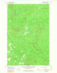
1957 · Two Harbors NE
USGS Topo · 1:24,000

1957 · Castle Danger
USGS Topo · 1:24,000