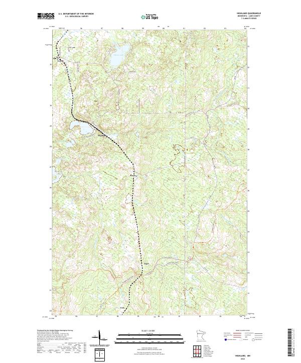
2022 Map of Highland
USGS Topo · Published 2022About this map
The Gooseberry River and its upper tributaries form the heart of this North Shore backcountry, where a network of logging roads and trails like the N Shore State Trail crisscross the Lake County forest. Small, historic outposts including Highland, Wales, and Lauren reflect the region's sparse settlement patterns, which are largely dictated by the drainage of the Stewart River and Encampment River. The map reveals a landscape dominated by water and wood, featuring numerous named wetlands and small bodies of water like Thomas Lake, Black Lake, and Twin Lakes. Local infrastructure remains tied to earlier eras of development, with routes such as Alger Grade W and Dufresne Rd connecting the quiet communities of Alger and York to the surrounding timberlands.
Find a feature on this map
36 named features on this map. Tap any name to fly to it.
Don’t see what you’re looking for? This feature index may not catch every label — zoom into the map to look around manually.
Map Details
Editions of this 2022 Highland Map
This is the sole edition of this map. No revisions or reprints were ever made.
Other maps of this area

1953 · Whyte
USGS Topo · 1:62,500

1954 · Mc Carthy Creek
USGS Topo · 1:24,000

1954 · Two Harbors
USGS Topo · 1:250,000

1956 · King Lake
USGS Topo · 1:24,000

1957 · Two Harbors
USGS Topo · 1:250,000

1957 · Two Harbors
USGS Topo · 1:62,500

1957 · Two Harbors
USGS Topo · 1:24,000

1957 · Brimson
USGS Topo · 1:62,500

1957 · Two Harbors NE
USGS Topo · 1:24,000

1957 · Castle Danger
USGS Topo · 1:24,000