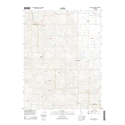
2015 Map of Highland Springs
USGS Topo · Published 2015About this map
The Mayacmas Mountains dominate the landscape of this 2015 survey, defining the rugged border between Lake County and Mendocino County. This region is characterized by significant topographic relief, where prominent landmarks like Monument Peak, Gilliam Rock, and Cloverdale Peak rise above the surrounding drainage basins. The area serves as a vital watershed, with numerous tributaries such as Highland Cr and Adobe Cr feeding into the Highland Springs Reservoir and Adobe Reservoir. These water features, alongside High Valley and Tyler Valley, reflect the complex geological and hydrological patterns of the northern California Coast Ranges.
Find a feature on this map
47 named features on this map. Tap any name to fly to it.
Don’t see what you’re looking for? This feature index may not catch every label — zoom into the map to look around manually.
Map Details
Editions of this 2015 Highland Springs Map
This is the sole edition of this map. No revisions or reprints were ever made.
Other maps of this area

1920 · Ukiah
USGS Topo · 1:62,500

1921 · Kelseyville
USGS Topo · 1:62,500

1938 · Lakeport
USGS Topo · 1:62,500

1938 · Hopland
USGS Topo · 1:62,500

1943 · Kelseyville
USGS Topo · 1:62,500

1943 · Hopland
USGS Topo · 1:62,500

1944 · Ukiah
USGS Topo · 1:62,500

1944 · Hopland
USGS Topo · 1:62,500

1947 · Santa Rosa
USGS Topo · 1:250,000

1949 · Santa Rosa
USGS Topo · 1:250,000