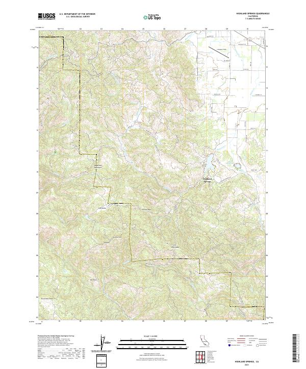
2021 Map of Highland Springs
USGS Topo · Published 2021About this map
The Mayacmas Mountains define the high country of this Lake County region, where the terrain transitions from steep ridges to the fertile flats of High Valley. The landscape is a complex network of canyons and peaks, including Monument Peak and Cloverdale Peak, which overlook the headwaters of numerous watercourses like Pieta Cr and Highland Cr. The map captures the interface between the wilder mountain ranges and the developed valley floor near Highland Springs, where the Adobe Reservoir manages the local watershed.
Find a feature on this map
58 named features on this map. Tap any name to fly to it.
Don’t see what you’re looking for? This feature index may not catch every label — zoom into the map to look around manually.
Map Details
Editions of this 2021 Highland Springs Map
This is the sole edition of this map. No revisions or reprints were ever made.
Other maps of this area

1920 · Ukiah
USGS Topo · 1:62,500

1921 · Kelseyville
USGS Topo · 1:62,500

1938 · Lakeport
USGS Topo · 1:62,500

1938 · Hopland
USGS Topo · 1:62,500

1943 · Kelseyville
USGS Topo · 1:62,500

1943 · Hopland
USGS Topo · 1:62,500

1944 · Ukiah
USGS Topo · 1:62,500

1944 · Hopland
USGS Topo · 1:62,500

1947 · Santa Rosa
USGS Topo · 1:250,000

1949 · Santa Rosa
USGS Topo · 1:250,000