Loading...
Loading map...1955 Map of Highlands
USGS Topo · Published 1956About this map
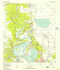
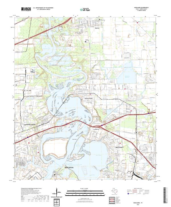
San Jacinto River meanders through this mid-century landscape where industry and heritage meet near the confluence of Buffalo Bayou. This survey captures the massive footprint of the San Jacinto Ordnance Depot south of Channelview, bordered by the Ordnance Boundary. Across the water, San Jacinto State Park preserves the site of the 1836 battle, notably marking the position of the Battleship Texas and the Historical Monument near the Lynchburg Ferry Landing.
Find a feature on this map
64 named features on this map. Tap any name to fly to it.
Don’t see what you’re looking for? This feature index may not catch every label — zoom into the map to look around manually.
Map Details
Date Portrayed1955
Date Published1956
PublisherU.S. Geological Survey
Map TypeTopographic
Scale1:24,000
Physical Dimensions23 x 26.9 inches
Editions of this 1955 Highlands Map
This is the sole edition of this map. No revisions or reprints were ever made.
Historical Maps of Houston Through Time
5 maps found
Featured Locations
Source Details
SourceU.S. Geological Survey
CopyrightPublic Domain