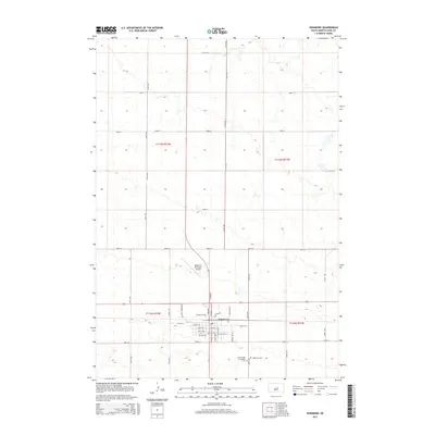
2015 Map of Highmore
USGS Topo · Published 2015About this map
The town of Highmore serves as the central hub of this 2015 Hyde County survey, revealing a well-defined grid of residential and commercial streets. The map highlights the intersection of significant local thoroughfares such as Iowa Ave and Commercial Ave SE, which organize the community's movement. On the southern outskirts, the presence of the Highmore Cem and the Immaculate Conception Cem provides essential touchpoints for genealogists and local historians tracking family lineage in the region.
Find a feature on this map
39 named features on this map. Tap any name to fly to it.
Don’t see what you’re looking for? This feature index may not catch every label — zoom into the map to look around manually.
Map Details
Editions of this 2015 Highmore Map
This is the sole edition of this map. No revisions or reprints were ever made.
Other maps of this area
1949 · Mitchell Lake
USGS Topo · 1:24,000
1950 · Highmore NE
USGS Topo · 1:24,000
1950 · Mitchell Lake
USGS Topo · 1:24,000
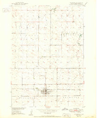
1950 · Highmore
USGS Topo · 1:24,000
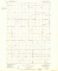
1950 · Highmore SE
USGS Topo · 1:24,000
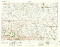
1953 · Huron
USGS Topo · 1:250,000
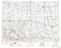
1954 · Huron
USGS Topo · 1:250,000
1968 · Holabird
USGS Topo · 1:24,000
1968 · Harrold NE
USGS Topo · 1:24,000
1973 · Macs Corner NE
USGS Topo · 1:24,000