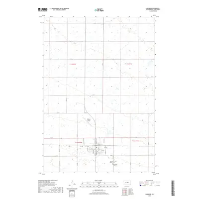
2017 Map of Highmore
USGS Topo · Published 2017About this map
Highmore serves as the central hub of this Hyde County landscape, where the rectilinear grid of the Public Land Survey System meets the organized street plan of the town. The settlement pattern is defined by its agricultural and transit foundations, visible in the convergence of Experiment Farm Rd and Commercial Ave near the town center. Local history and genealogy are well-represented by a cluster of burial grounds south of the main township, including Saint Marys Catholic Cem, Highmore Cem, and the Immaculate Conception Cem. Outside the residential core, the Highmore Municipal Airport and a vast network of section-line roads like 191st St and 338th Ave illustrate the expansive nature of the South Dakota prairie, where township lines like t113n r72w and t112n r71w organize the high plains terrain.
Find a feature on this map
39 named features on this map. Tap any name to fly to it.
Don’t see what you’re looking for? This feature index may not catch every label — zoom into the map to look around manually.
Map Details
Editions of this 2017 Highmore Map
This is the sole edition of this map. No revisions or reprints were ever made.
Other maps of this area
1949 · Mitchell Lake
USGS Topo · 1:24,000
1950 · Highmore NE
USGS Topo · 1:24,000
1950 · Mitchell Lake
USGS Topo · 1:24,000
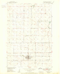
1950 · Highmore
USGS Topo · 1:24,000
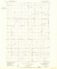
1950 · Highmore SE
USGS Topo · 1:24,000
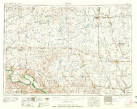
1953 · Huron
USGS Topo · 1:250,000
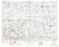
1954 · Huron
USGS Topo · 1:250,000
1968 · Holabird
USGS Topo · 1:24,000
1968 · Harrold NE
USGS Topo · 1:24,000
1973 · Macs Corner NE
USGS Topo · 1:24,000