Loading...
Loading map...1950 Map of Highmore
USGS Topo · Published 1978About this map
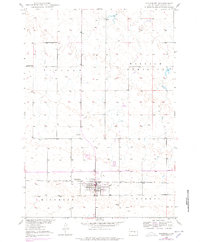
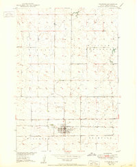
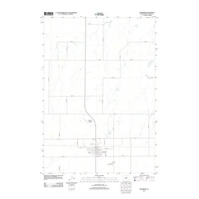
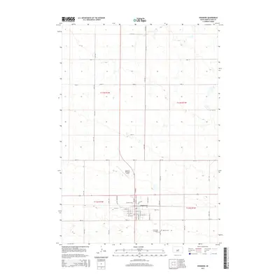
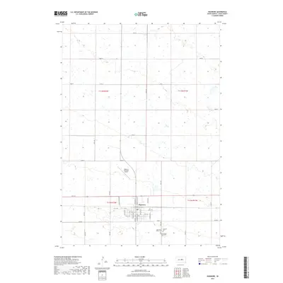
Highmore serves as the focal point of this Central South Dakota landscape, shown here as a vital agricultural and transportation hub at the mid-century. The town is situated along the Chicago and North Western railroad, which provided a crucial link for the region's prairie economy. Just outside the main settlement, the State College Substation indicates the era's focus on agricultural research and development within Hyde County.
Find a feature on this map
11 named features on this map. Tap any name to fly to it.
Don’t see what you’re looking for? This feature index may not catch every label — zoom into the map to look around manually.
Map Details
Date Portrayed1950
Date Published1978
PublisherU.S. Geological Survey
Map TypeTopographic
Scale1:24,000
Physical Dimensions22 x 26.6 inches
Editions of this 1950 Highmore Map
2 editions found
Historical Maps of Highmore Through Time
6 maps found
Featured Locations
Source Details
SourceU.S. Geological Survey
CopyrightPublic Domain