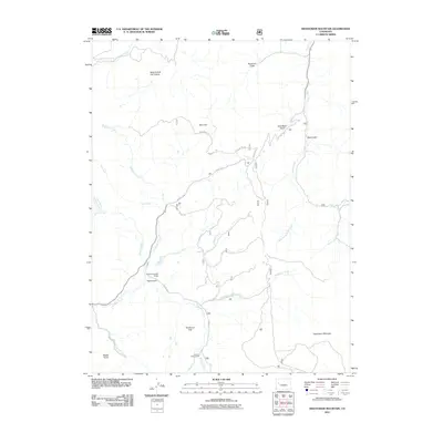
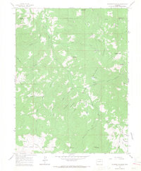
2011 Map of Hightower Mountain
USGS Topo · Published 2011About this map
Hightower Mountain dominates the southeastern corner of this Mesa County landscape, rising above a network of drainages that define the local topography. The area is characterized by a complex system of creeks, including Buzzard Creek and Hightower Creek, which have carved out notable landmarks like Road Gulch and Bogue Gulch. Human infrastructure is sparse but specific, with W Hwy 330 providing the primary transit route through the terrain. Evidence of water management and recreation is found at the Currier Number 2 Dam and the Buzzard Campground near Beaver Creek. From the high point of Mud Hill to the expanse of Sunflower Flat, the map illustrates a region where natural springs like Mud Spring and seasonal gulches dictate the movement of both water and travelers.
Find a feature on this map
26 named features on this map. Tap any name to fly to it.
Don’t see what you’re looking for? This feature index may not catch every label — zoom into the map to look around manually.
Map Details
Editions of this 2011 Hightower Mountain Map
This is the sole edition of this map. No revisions or reprints were ever made.
Other maps of this area
1955 · The Meadows
USGS Topo · 1:24,000

1957 · Leadville
USGS Topo · 1:250,000

1959 · Leadville
USGS Topo · 1:250,000
1960 · Leadville
USGS Topo · 1:250,000
1960 · North Mamm Peak
USGS Topo · 1:24,000
1960 · South Mamm Peak
USGS Topo · 1:24,000
1961 · Porter Mountain
USGS Topo · 1:24,000
1961 · Spruce Mountain
USGS Topo · 1:24,000
1962 · Leadville
USGS Topo · 1:250,000
1963 · Flatiron Mountain
USGS Topo · 1:24,000