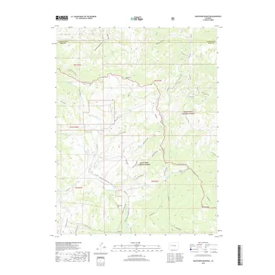
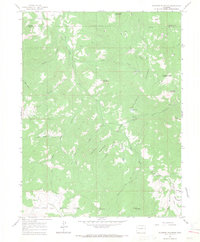
2019 Map of Hightower Mountain
USGS Topo · Published 2019About this map
Grand Mesa National Forest and White River National Forest meet at a rugged administrative and natural divide in this modern 2019 survey. The landscape is defined by its extensive drainage network, including Alkali Creek and Buzzard Creek, which flow from high points like Hightower Mountain. The area is managed for multi-use recreation and transit, as evidenced by the Battlement Trail and the seasonal Hightower Snowmobile route that cuts through the forested terrain.
Find a feature on this map
59 named features on this map. Tap any name to fly to it.
Don’t see what you’re looking for? This feature index may not catch every label — zoom into the map to look around manually.
Map Details
Editions of this 2019 Hightower Mountain Map
This is the sole edition of this map. No revisions or reprints were ever made.
Other maps of this area
1955 · The Meadows
USGS Topo · 1:24,000

1957 · Leadville
USGS Topo · 1:250,000

1959 · Leadville
USGS Topo · 1:250,000
1960 · Leadville
USGS Topo · 1:250,000
1960 · North Mamm Peak
USGS Topo · 1:24,000
1960 · South Mamm Peak
USGS Topo · 1:24,000
1961 · Porter Mountain
USGS Topo · 1:24,000
1961 · Spruce Mountain
USGS Topo · 1:24,000
1962 · Leadville
USGS Topo · 1:250,000
1963 · Flatiron Mountain
USGS Topo · 1:24,000