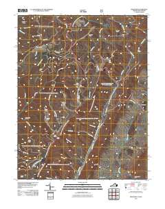
2011 Map of Hightown
USGS Topo · Published 2011About this map
Mount Hobart Cemetery sits near the summit of Mount Hobart, overlooking a complex network of high-elevation drainages that define the borderlands of Virginia and West Virginia. This terrain is dominated by parallel ridges like Elleber Ridge and Tamarack Ridge, where the headwaters of major river systems begin their descent. A significant geographic transition occurs at The Divide, separating the waters that feed the Jackson River from those flowing into the Little River and Back Creek. Settlement is concentrated in the small communities of Hightown and Meadowdale, connected by winding routes such as the Old Pike Rd. The landscape is a patchwork of steep hollows like Rattlesnake Hollow and prominent peaks, including Bearcamp Knob and Watering Pond Knob, reflecting a region where topography has dictated the patterns of roads and residency for generations.
Find a feature on this map
45 named features on this map. Tap any name to fly to it.
Don’t see what you’re looking for? This feature index may not catch every label — zoom into the map to look around manually.
Map Details
Editions of this 2011 Hightown Map
This is the sole edition of this map. No revisions or reprints were ever made.
Other maps of this area

1889 · Beverly
USGS Topo · 1:125,000

1892 · Beverly
USGS Topo · 1:125,000

1901 · Monterey
USGS Topo · 1:125,000

1922 · Spruce Knob
USGS Topo · 1:48,000

1922 · Cass
USGS Topo · 1:48,000

1922 · Durbin
USGS Topo · 1:48,000

1924 · Cass
USGS Topo · 1:62,500

1924 · Durbin
USGS Topo · 1:62,500

1924 · Spruce Knob
USGS Topo · 1:62,500

1941 · Monterey
USGS Topo · 1:62,500