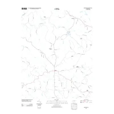
2013 Map of Hilham
USGS Topo · Published 2013About this map
Hilham serves as the central hub of this Overton County landscape, where the road network converges amidst the ridges and valleys of Middle Tennessee. The geography is defined by prominent elevations such as Goodpasture Mountain and Wilson Mountain, which overlook a complex system of watercourses including Buffalo Br and the intermittently dry beds of Dry Cr. To the north, the waters of Standingstone Lake and the southern reaches of Dale Hollow Lake mark the transition toward more significant reservoir systems. This 2013 survey captures the rural character of the region, from the smaller settlements of Timothy and Holly Springs to the secluded Johnson Cove. Numerous family-named routes like Jerry Bilbrey Rd and Poor House Ridge Rd provide a grounded perspective on the local road history and land ownership patterns established throughout the hollows.
Find a feature on this map
93 named features on this map. Tap any name to fly to it.
Don’t see what you’re looking for? This feature index may not catch every label — zoom into the map to look around manually.
Map Details
Editions of this 2013 Hilham Map
This is the sole edition of this map. No revisions or reprints were ever made.
Other maps of this area

1897 · Standingstone
USGS Topo · 1:125,000

1898 · Standingstone
USGS Topo · 1:125,000

1924 · Lillydale
USGS Topo · 1:62,500

1925 · Gainesboro
USGS Topo · 1:62,500

1926 · Lillydale
USGS Topo · 1:62,500

1929 · Lillydale
USGS Topo · 1:62,500

1929 · Gainesboro
USGS Topo · 1:62,500

1929 · Tompkinsville
USGS Topo · 1:62,500

1944 · Livingston
USGS Topo · 1:24,000

1951 · Windle
USGS Topo · 1:24,000