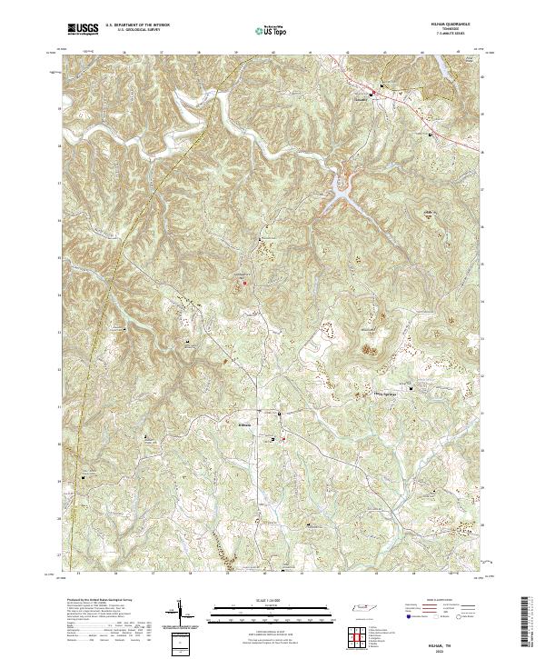
2022 Map of Hilham
USGS Topo · Published 2022About this map
Hilham serves as a central hub in this section of the Cumberland Plateau, where the landscape is defined by deep hollows and prominent ridges. The presence of the Hilham PO and a dense concentration of family burial sites, such as the Gore - Poston Family Cem and Hawkins Family Cem, suggests a long-established rural community structure rooted in ancestral landholdings. To the north, the settlement of Timothy sits near the headwaters of Mill Creek, while Holly Springs lies to the southeast near Walter Spring.
Find a feature on this map
110 named features on this map. Tap any name to fly to it.
Don’t see what you’re looking for? This feature index may not catch every label — zoom into the map to look around manually.
Map Details
Editions of this 2022 Hilham Map
This is the sole edition of this map. No revisions or reprints were ever made.
Other maps of this area

1897 · Standingstone
USGS Topo · 1:125,000

1898 · Standingstone
USGS Topo · 1:125,000

1924 · Lillydale
USGS Topo · 1:62,500

1925 · Gainesboro
USGS Topo · 1:62,500

1926 · Lillydale
USGS Topo · 1:62,500

1929 · Lillydale
USGS Topo · 1:62,500

1929 · Gainesboro
USGS Topo · 1:62,500

1929 · Tompkinsville
USGS Topo · 1:62,500

1944 · Livingston
USGS Topo · 1:24,000

1951 · Windle
USGS Topo · 1:24,000