
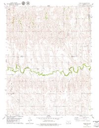
1979 Map of Hill City North
USGS Topo · Published 1979About this map
Hill City sits at the southern edge of this West Central Kansas landscape, where the high plains are carved by the meandering courses of Spring Creek and Coon Creek. Mapped from aerial photography taken in the mid-1970s, the terrain reveals a rural economy centered on both agriculture and resource extraction, with numerous Oil Wells and several Quarry sites dotting the drainage basins. Local history is anchored by the Hill City Cem and Roscoe Cem, providing valuable touchstones for genealogical research in Graham County. The infrastructure of the late twentieth century is well-defined, showing the Municipal Airport and a prominent Radio Tower that mark the transition from the settled town grid to the surrounding section lines and draws.
Find a feature on this map
16 named features on this map. Tap any name to fly to it.
Don’t see what you’re looking for? This feature index may not catch every label — zoom into the map to look around manually.
Map Details
Editions of this 1979 Hill City North Map
This is the sole edition of this map. No revisions or reprints were ever made.
Other maps of this area

1893 · Norton
USGS Topo · 1:125,000

1893 · Hill
USGS Topo · 1:125,000

1955 · Beloit
USGS Topo · 1:250,000

1959 · Beloit
USGS Topo · 1:250,000

1978 · Lenora East
USGS Topo · 1:24,000

1978 · Edmond SE
USGS Topo · 1:24,000

1979 · Bogue
USGS Topo · 1:24,000
1979 · Logan SW
USGS Topo · 1:24,000

1979 · Hill City South
USGS Topo · 1:24,000

1979 · Penokee
USGS Topo · 1:24,000