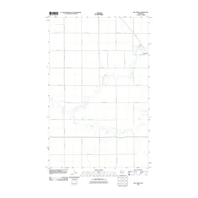
2010 Map of Hill Siding
USGS Topo · Published 2010About this map
Northcote stands as the primary settlement in this corner of Kittson County, situated along the railway lines and major transportation corridors of the Red River Valley. The landscape is defined by the winding course of the Two Rivers and its tributary, the North Branch Two Rivers, which carve serpentine paths through an otherwise orderly grid of agricultural sections and township roads. The map captures a moment in the early 21st century where the rural character remains dominant, anchored by local transport nodes like Hill Siding. A dense network of township roads, such as Twp Hwy T-117 and Twp Hwy T-190, connects these small communities to larger arterial routes like County Hwy-4 and County Hwy-16. This survey provides an essential view of the traditional land divisions and hydrology of northwestern Minnesota prior to more recent shifts in regional land use.
Find a feature on this map
26 named features on this map. Tap any name to fly to it.
Don’t see what you’re looking for? This feature index may not catch every label — zoom into the map to look around manually.
Map Details
Editions of this 2010 Hill Siding Map
This is the sole edition of this map. No revisions or reprints were ever made.
Other maps of this area
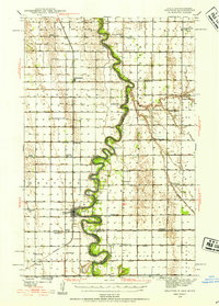
1939 · Drayton
USGS Topo · 1:62,500
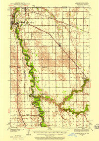
1939 · Pembina
USGS Topo · 1:62,500
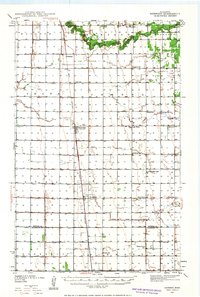
1939 · Kennedy
USGS Topo · 1:62,500
1941 · Kennedy
USGS Topo · 1:62,500
1941 · Drayton
USGS Topo · 1:62,500
1941 · Hallock
USGS Topo · 1:62,500
1941 · Pembina
USGS Topo · 1:62,500

1952 · Thief River Falls
USGS Topo · 1:250,000

1956 · Thief River Falls
USGS Topo · 1:250,000

1957 · Thief River Falls
USGS Topo · 1:250,000