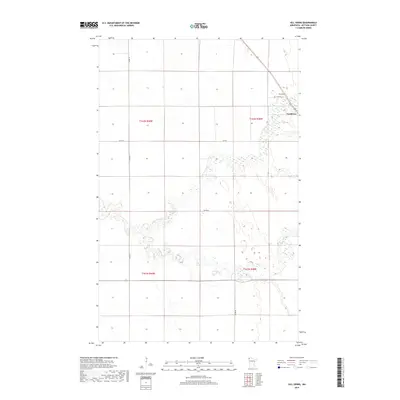
2019 Map of Hill Siding
USGS Topo · Published 2019About this map
Northcote and the rail-oriented settlement of Hill Siding anchor this Kittson County landscape, which is defined by the meandering courses of the Two Rivers and the N Br Two Rivers. The terrain reflects the agricultural layout of the Red River Valley, with a strict rectilinear grid of rural roads such as Co Rd 4 and Co Rd 16 cutting across the alluvial plain.
Find a feature on this map
13 named features on this map. Tap any name to fly to it.
Don’t see what you’re looking for? This feature index may not catch every label — zoom into the map to look around manually.
Map Details
Editions of this 2019 Hill Siding Map
This is the sole edition of this map. No revisions or reprints were ever made.
Other maps of this area

1939 · Drayton
USGS Topo · 1:62,500

1939 · Pembina
USGS Topo · 1:62,500

1939 · Kennedy
USGS Topo · 1:62,500

1941 · Kennedy
USGS Topo · 1:62,500

1941 · Drayton
USGS Topo · 1:62,500

1941 · Hallock
USGS Topo · 1:62,500

1941 · Pembina
USGS Topo · 1:62,500

1952 · Thief River Falls
USGS Topo · 1:250,000

1956 · Thief River Falls
USGS Topo · 1:250,000

1957 · Thief River Falls
USGS Topo · 1:250,000