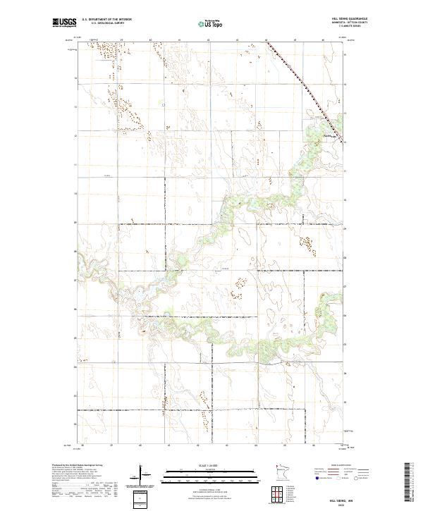
2022 Map of Hill Siding
USGS Topo · Published 2022About this map
Northcote stands as the primary settlement in this corner of Kittson County, situated along the eastern edge of a landscape defined by the winding paths of the N Br Two Rivers and the main branch of Two Rivers. This 2022 survey documents the section lines and township boundaries of T162N and T161N, reflecting the orderly land division typical of the Red River Valley region. The terrain is a network of drainage and low-lying areas, where the meandering river systems dictate the local topography. Key transportation routes, including Co Rd 4 and Co Rd 16, provide the framework for the agricultural properties that dominate the quadrangle. Genealogists and historians can trace the modern road network, such as 312th St, against the established township and range grids that have organized this northern Minnesota territory for generations.
Find a feature on this map
12 named features on this map. Tap any name to fly to it.
Don’t see what you’re looking for? This feature index may not catch every label — zoom into the map to look around manually.
Map Details
Editions of this 2022 Hill Siding Map
This is the sole edition of this map. No revisions or reprints were ever made.
Other maps of this area

1939 · Drayton
USGS Topo · 1:62,500

1939 · Pembina
USGS Topo · 1:62,500

1939 · Kennedy
USGS Topo · 1:62,500

1941 · Kennedy
USGS Topo · 1:62,500

1941 · Drayton
USGS Topo · 1:62,500

1941 · Hallock
USGS Topo · 1:62,500

1941 · Pembina
USGS Topo · 1:62,500

1952 · Thief River Falls
USGS Topo · 1:250,000

1956 · Thief River Falls
USGS Topo · 1:250,000

1957 · Thief River Falls
USGS Topo · 1:250,000