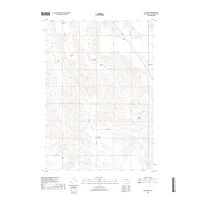
2017 Map of Hilland NW
USGS Topo · Published 2017About this map
Dowling Cem stands as a quiet marker of early settlement in this corner of Haakon County, situated near the intersection of Ash Creek Rd and Four Corners Rd. This landscape is defined by its deep draws and high flats, where family names are etched into the terrain at Barthold Flat and Carnahan Flat. The drainage network, featuring Ash Cr, Bridger Cr, and Indian Springs Cr, illustrates the vital water sources that dictated the placement of homesteads and grazing lands in this semi-arid region. The presence of Indian Springs in the northeast further highlights the importance of natural water points. This topographic study reflects a pastoral ranching environment where the grid of section lines and gravel roads like 201st St and 208th Ave provide the primary structure for movement across the plains.
Find a feature on this map
23 named features on this map. Tap any name to fly to it.
Don’t see what you’re looking for? This feature index may not catch every label — zoom into the map to look around manually.
Map Details
Editions of this 2017 Hilland NW Map
This is the sole edition of this map. No revisions or reprints were ever made.
Other maps of this area

1953 · Rapid City
USGS Topo · 1:250,000

1954 · Pierre
USGS Topo · 1:250,000
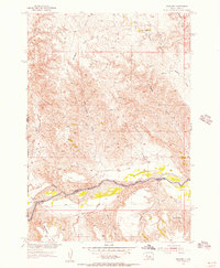
1955 · Bridger
USGS Topo · 1:24,000
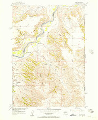
1955 · Pedro
USGS Topo · 1:24,000
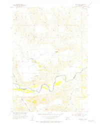
1955 · Bridger SE
USGS Topo · 1:24,000
1955 · Howes
USGS Topo · 1:24,000
1955 · Pedro SE
USGS Topo · 1:24,000
1955 · Hilland NW
USGS Topo · 1:24,000

1957 · Rapid City
USGS Topo · 1:250,000

1958 · Pierre
USGS Topo · 1:250,000